& Construction

Integrated BIM tools, including Revit, AutoCAD, and Civil 3D
& Manufacturing

Professional CAD/CAM tools built on Inventor and AutoCAD

Reality data continues to be an integral part of the workflow that we support here at Autodesk. By making our technology available to partners, we are accelerating our ability to bring solutions to our customers. We’re deepening our engagement with partners to collaboratively solve for the breadth of problems and challenges our customers face. Read the…
Uncategorized

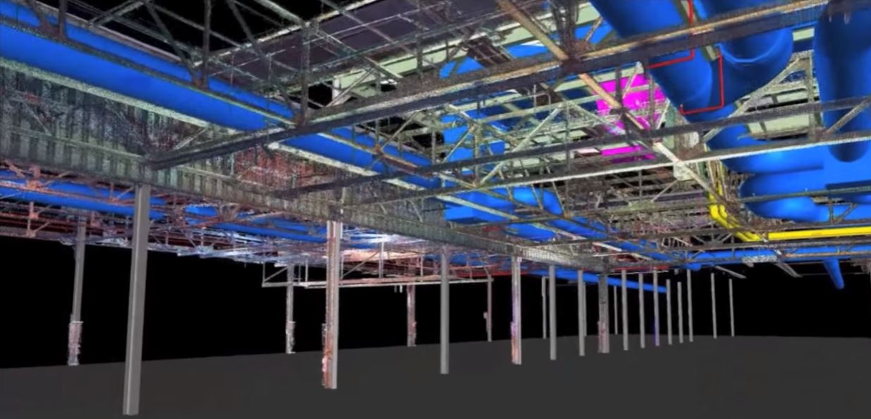
ATFF provides Scan-to-BIM services using ReCap and Revit for a hospital renovation in the French Alps The Project The Aiguilles-Queyras Hospital Center is a 20,000-square meter facility in Aiguilles, France. Located in the French Alps, the facility has the highest altitude of any hospital in France. A renovation project is underway to accommodate more out-patient…
Uncategorized

At Autodesk, we know that feedback from you is what makes our products better. Not only do we want to hear your thoughts about what we’ve released and shipped so far, we also want your feedback on our plans. While we’ve always tried to share our product roadmaps, it’s not necessarily been easy information to…
Roadmaps

Mercy Hospital is the 5th largest Catholic healthcare organization in the U.S. Recently, one of their large hospital branches in Jefferson County, Missouri, was due for a renovation. The task? Create new entries, new hallways, and new clinics and to improve patient way-finding and to create room for new services. Read the full post on Infrastructure Reimagined
Uncategorized

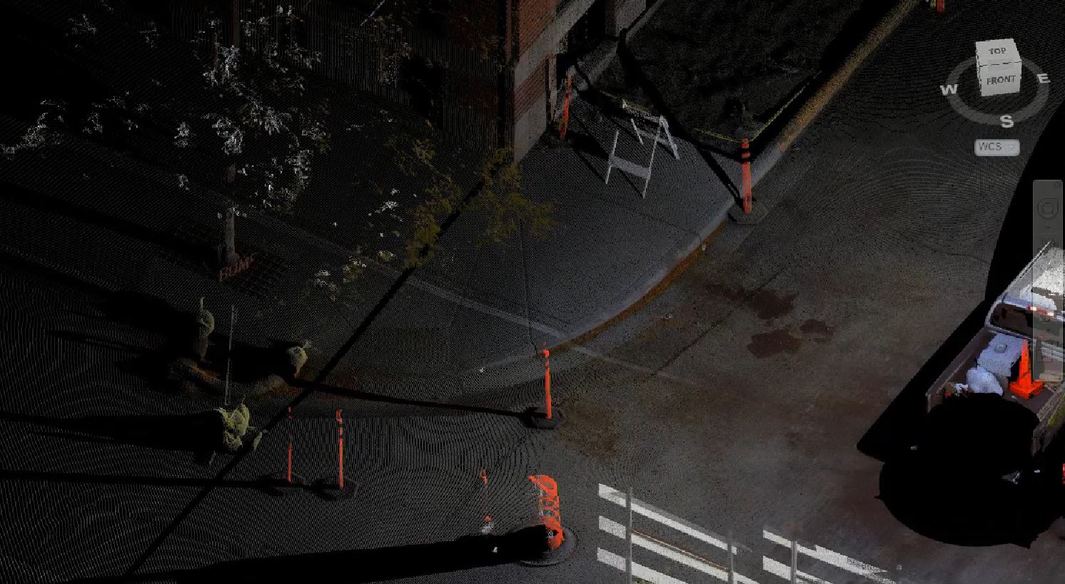
‘Field to finish’ is an automated surveying process that enables you to automatically create a digital, intelligent map from field survey data. During conventional ground-based surveys, field codes are often used to define captured survey points (this point is a utility pole, these points are the edge of a street curb, and so on). Products…
Uncategorized
May we collect and use your data?
Learn more about the Third Party Services we use and our Privacy Statement.May we collect and use your data to tailor your experience?
Explore the benefits of a customized experience by managing your privacy settings for this site or visit our Privacy Statement to learn more about your options.