
Contributing guest author: Michael Davidson, Esri Autodesk and Esri’s GIS integration tools bring together design information and location intelligence. By combining BIM/CAD and GIS data, designers can better understand where and how an asset fits within the built and natural environment. The result is a powerful, information-rich model that helps improve design and construction workflows…
Infrastructure
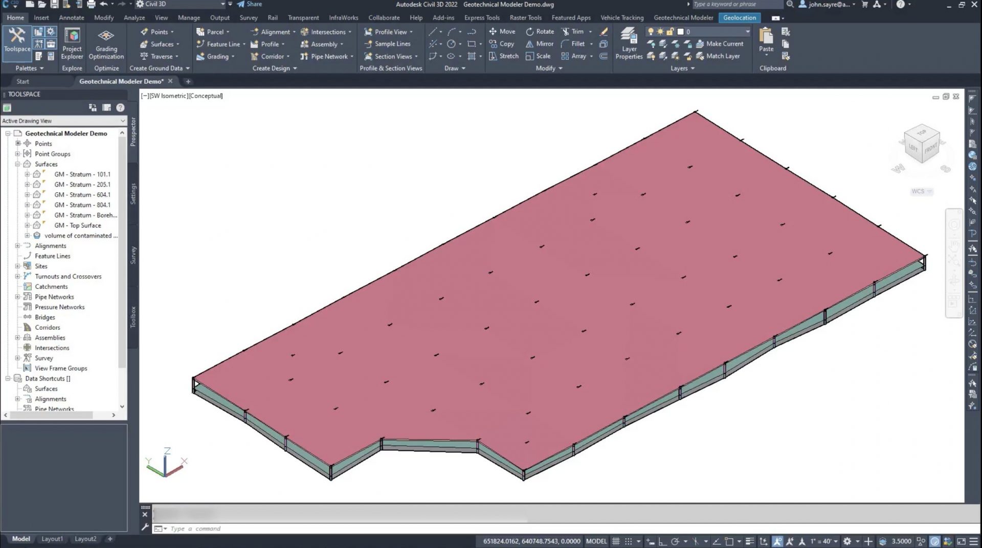
Visualize subsurface data to improve decisions and minimize risk across your projects Modeling subsurface information is critical when working on new design projects or the rehabilitation of existing capital assets. It involves the analysis of soils, rocks, and other earth materials, and assessing their impact on the construction and performance on every type of project…
Infrastructure