For years, many people have relied on Plexscape’s Plex-Earth to view Google Earth images in AutoCAD. Now, the company has released an incredible update to the plug-in that includes high-resolution aerial and satellite imagery from Airbus, Maxar, Nearmap, and more.
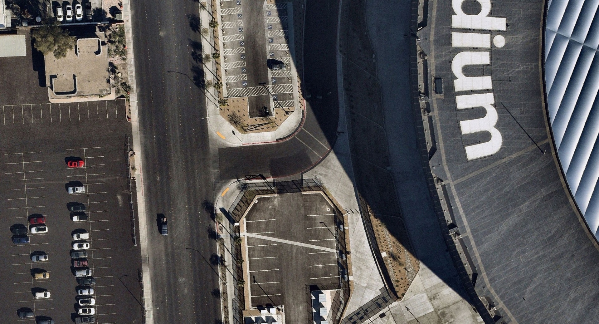
AEC firms, designers, and engineers typically only need a small aerial view of a project area. However, contracts and access to premium images and views can be challenging and expensive. With the new Plex-Earth 5 for AutoCAD, you can bring in superior, up-to-date imagery that can be as recent as a few weeks or even a few days ago.
“I call this exciting new version the democratization of imagery because now everyone can have the best available, real-world view of their project area without the big costs and long-term contracts,” says Lambros Kaliakatsos, CEO, Plexscape.
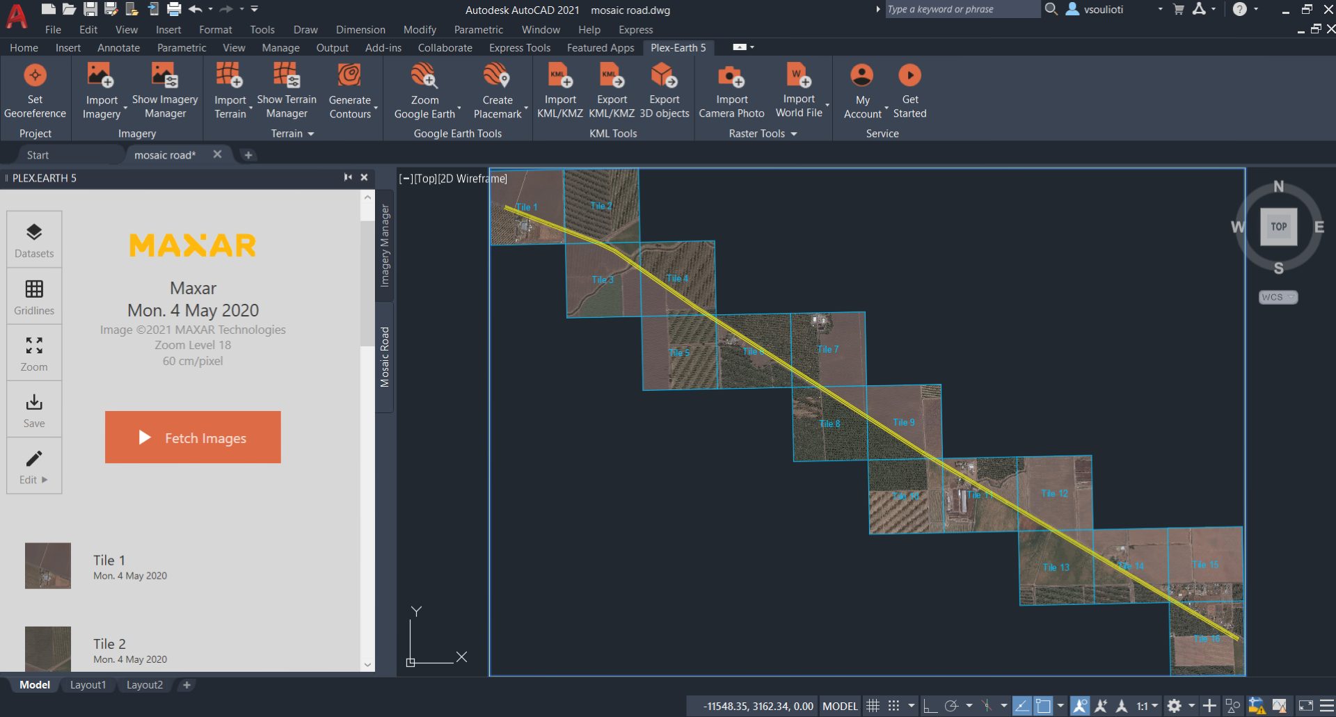
For the images, Plex-Earth doesn’t just import a flat background image. The software adjusts flat photos to real-world curvature, which is critical for larger projects. It also includes the abilities to import high-resolution terrain mesh data from Bing and other providers as well as export 3D objects into Google Earth.
Learn more about Plex-Earth 5 and visit the App Store for a free trial.