“We need you to come back to the site. There’s been some flooding.”
No general contractor wants to find a message like that in their inbox half a decade after wrapping up a construction project. But a representative from Magnolia Montessori was indeed coming back to Rogers-O’Brien (RO). They were concerned because water was ponding at the entrances to buildings, and in some cases, infiltrating inside.

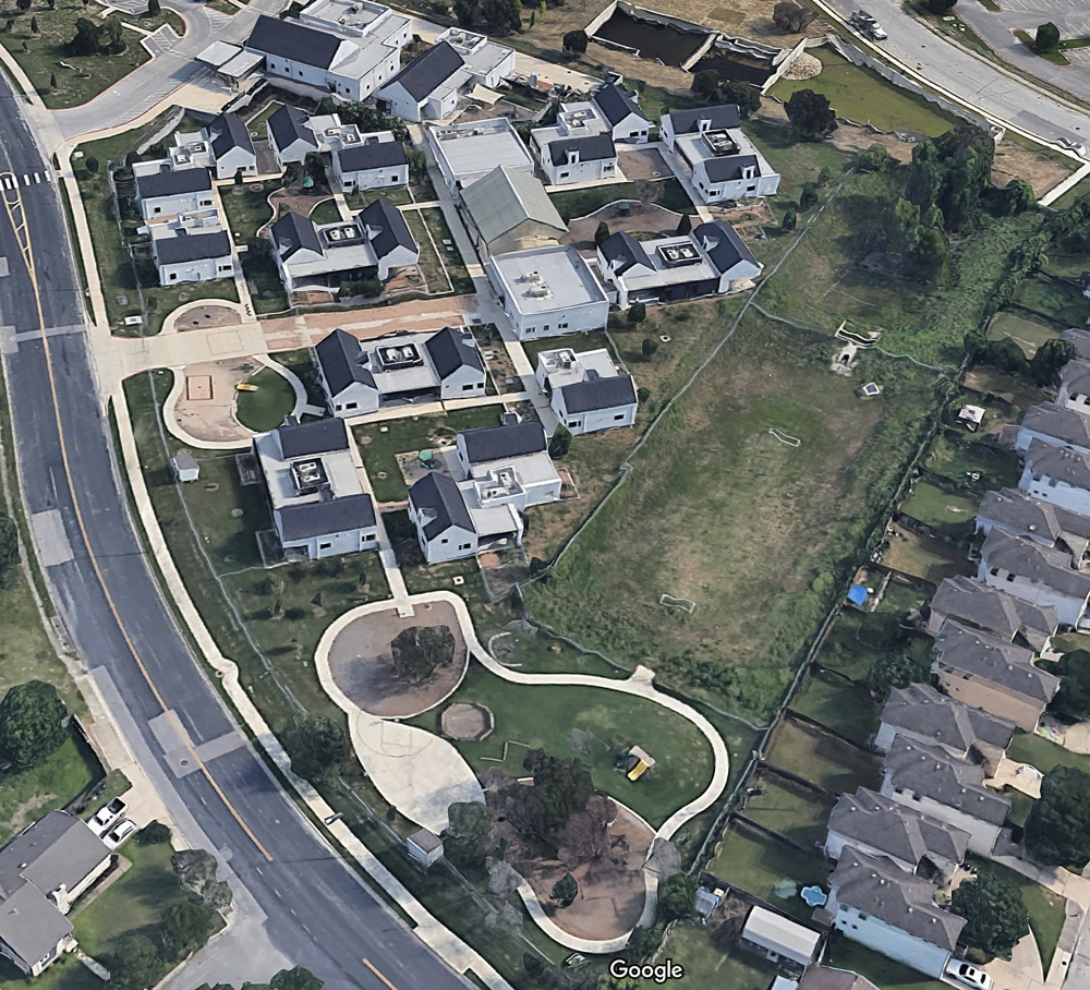
RO had been contracted to build Magnolia Montessori School back in 2016. This publicly funded Montessori program in Austin, Texas is held in a collection of eight buildings, which are scattered across a lot with notable elevation changes from one side of the lot to the other.
“It had been five years since the school was completed,” says Director of Field Engineering Michael Clark. “We immediately went back and looked at all of our geotech reports and all of our as-builts to make sure we had installed everything correctly.”
Back to the site to look around
Clark headed to Magnolia Montessori to conduct an initial inspection and meet with a school representative. He needed to quickly determine how much water was ponding in certain areas and understand the overall flow of water on the site. Was sheet flow heading toward area drains? Was everything draining to the detention pond?
“The school sits on such a large area that it was hard to tell with the naked eye on a clear-and-dry day where the water might be infiltrating,” says Clark. He did notice that a few sidewalks were cracked and lifted, but it wasn’t immediately evident which area drains were failing – or if failed drains were even the source of the problem.

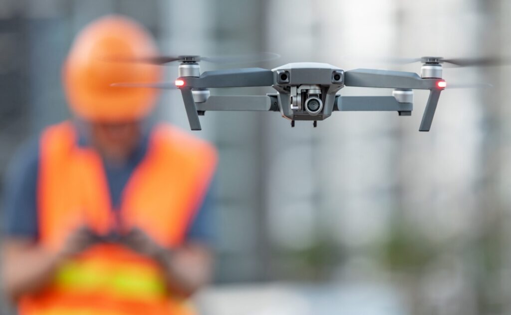
Back at the office, RO estimated that they might have to spend three weeks collecting the necessary data. They knew they could use a drone deploy to quickly and easily get very accurate surface data, but the slow-down would be analyzing the flow of water on the surface. They didn’t want to spend hours manually looking at topography information to try and determine the water’s flow paths.
A commitment to flying high with innovation
“That’s when our Director of Virtual Design & Construction Chris Patton came to me to me with InfoDrainage,” says Clark. “We were still in the pilot phase of extending our latest drone mapping initiative, testing it out. We figured using InfoDrainage in conjunction with our drone on this project would be an excellent test case.”
“We’re trying to lead the game on innovation,” Chief Innovation Officer Todd Wynne chimes in, backgrounded by a long row of award plaques that sit high up on a shelf in RO’s open office. “Rogers-O’Brien was one of the first to implement drone technology in construction.”
Wynne explains how RO began using drone deployment very early, around eight years ago. They started in a simple way by capturing progress photos on their construction sites. But a year ago, they took a bigger leap and adopted Propeller to expand their use of drone technology.
It was settled. Clark sent the crew to the site to fly their drone while he installed InfoDrainage.
The importance of interoperability
Like a lot of general contractors, RO is comfortable working within Autodesk’s CAD environments, and they rely heavily on file interoperability when working with subcontractors of all sorts. “We were able to perform an aerial flight over the entire site, process that within the Propeller Platform, and then export a surface model as a DWG file,” Clark says, detailing his workflow.
Clark brought that DWG file into Civil3D and then into InfoDrainage where he could examine the situation using InfoDrainage’s Deluge tool. The tool produced a heat map of the low areas and surface drainage patterns, showing him where the problem areas were – and where all that water would end up under extreme rainfall situations. That process took less than an hour. This was, perhaps needless to say, significantly less than the three weeks they had originally estimated.
“The Deluge report worked great,” says Clark. “We were able to put the surface model into InfoDrainage, set the parameters of the deluge, and it told us exactly what we needed.”
The school had requested drawings to show where the ponding was occurring, but Clark was able to give them something even better with another interoperability win. He took his InfoDrainage output file (DWG or DXF) and imported it back into Propeller as an overlay, giving the school (and his engineer) an interactive map of the area with actual InfoDrainage data overlaid on top. “It highlighted the areas that were holding water, in a very nice, easy-to-view way.”
Good news – it’s the soil
With the results from their engineer and all their InfoDrainage information at hand, the RO team was able to determine that the area drains were performing properly and that sheet flow areas were grading to the appropriate drains across the site. However, there had been a lot of expansion in the soil over the last five years, resulting in water retention. This isn’t so unexpected with high-clay soil, which can expand drastically during the winter and then contract in the extremely hot Texas summers, leaving a void underneath concrete.
This is what was causing the flooding issues. The good news was that no additional (costly) drainage infrastructure would be needed. They could simply replace specific areas of the concrete walkways and top it off with Select Fill or sand, which would help alleviate or slow future soil expansion. They were able to efficiently complete the proposal, along with better-than-expected pricing, and submit it for the public approval process.
All-in on the latest and greatest tech
RO is now all-in on drone technology – and ready to go deeper with InfoDrainage.
“I can take our design models and put them directly into Propeller for quality control and verification. The accuracy on it is so high that we can use it for survey-grade reports. Most other platforms offer 1- to 2-inch accuracy, whereas Propeller offers 1/4- to 3/8-inch accuracy.”
Does he think other GCs would find InfoDrainage useful? “The Deluge tool alone would be a great tool for general contractors for verifying issues and for quality control.”
“Let’s say we’re working on a 10,000 square foot parking lot,” continues Clark. “We’ve poured concrete and are doing our final close-outs. We can fly over it with our drone, plug the Propeller output into InfoDrainage, and make sure we’re not going to be retaining any water. We can make sure that everything drains to all the drains it’s supposed to and ensure that we’re not going to have a huge pond in the middle of the parking lot. Same thing with earthwork on a gradual slope, where there may be small areas you can’t see with the naked eye in the grading or in the pouring of the concrete.”

Reducing liability in an uncertain climate future
Like many of the people who do the hard work of building the world around us, Clark is more and more alert to the changing climate. He says it’s now all-too-regular to hear about 50- or 100-year rainfall events where it rains six inches in one day.
“InfoDrainage can simulate everything in a virtual environment so that before we finish a project and tell the owner that it’s done, we can make this part of our verification process and feel confident that we’ve done our due diligence by providing a comprehensive drainage report,” says Clark. “If, two years down the road, a huge storm occurs and the owners come back to us to point out that there’s 5 inches of standing water in our parking lot, it provides us some leeway. Of course we’ll come and fix it. But it’s always advantageous to know that we were correct the first time.”
And that’s a great position to be in when you get called back to a job.
Go deeper into the story
- Visit RO’s website and watch some of their excellent videos that feature their employees. You’ll quickly see that they are indeed at the forefront of using technology in construction.
- Do you use Civil3D? You can integrate drones. Here’s how.
- How do drones actually capture the surface? Read about how photogrammetry works.
- Have you read our article 10 things you can do in InfoDrainage that you can’t do in MicroDrainage? Drones might be #11, which may be another reason to experiment with InfoDrainage with a 30-day free trial.