By 2050, the Organization for Economic Cooperation and Development (OECD) predicts that water demand will increase by 55%. In the same period, UNESCO estimates that north of 2.5 Billion people could face a water shortage. That’s billion with a B.
There’s another side of the coin as well. As prevalent as water scarcity is, extreme weather events are creating an overabundance of water in certain areas, increasing the need for proper drainage design and the creation of more resilient drainage systems.
These facts, staggering as they might be, are the realities the water industry faces. These facts, as ever-present as they might be, are also what keep us as water professionals up at night.
Solving such daunting challenges serve as the battle cry for the modernization of the water industry; and for many addressing these challenges, is their north star in their pursuit of innovation in water design and management.
At Autodesk, our vision is simple: provide full water lifecycle management solutions for resilient and sustainable water systems – from cloud to sea.
Efficient and sustainable solutions for the water industry
As engineers, we’re in constant pursuit of efficiency. We’re always on the lookout for the best tool or the best process to manage our workflows and get us one step closer to perfection. In this pursuit, we ask questions. How can I…
- More effectively manage outages and plan for emergencies?
- Collaborate with my service providers across all of my projects?
- Plan new projects and quickly assess their impact on existing drainage and stormwater controls?
- See and analyze my asset and model data in a native geospatial context?
At Autodesk, we address these challenges for water professionals by delivering tools in an industry-leading unified Design and Make Platform, and we have solutions that cover every stage of the water lifecycle.

Drainage
InfoDrainage enables the design and analysis of site-specific projects empowering engineers to deliver sustainable, cost-effective, reliable, and compliant drainage designs. As any drainage engineer knows, our infrastructure is the unsung hero of modern development, and InfoDrainage allows you to do your job better, in an environment that directly integrates with Civil 3D.
With InfoDrainage, you can quickly import your Civil 3D network and catchments through a convenient ribbon, design and simulate your drainage systems, then export your work back into Civil 3D to complete the design phase of your project.
But you don’t have to take a biased water engineer’s word for it. Just look at how Rogers-O’Brien leveraged the design and make platform, including InfoDrainage, to improve their drainage design. They were faced with a site that had drainage issues, with no clear and apparent cause for why. By flying a drone over the site to generate a point cloud – which was imported into Civil 3D and then natively imported into InfoDrainage – the team could take advantage of the Deluge tool to generate a heat map, unveiling hidden flow patterns and pooling zones. With all of this analysis, they determined their issues weren’t with existing stormwater controls – but rather were geotechnical in nature. With some keen site work, the drainage problem was quickly addressed.
While InfoDrainage is the tool of choice for site-specific drainage design, for engineers looking to examine an entire managed area and run emergency modeling, conduct risk analysis, or simply examine areas for system improvement, then Autodesk Water’s Integrated Catchment Model tool, InfoWorks ICM is what you need.
Storm, sewer, flood
InfoWorks ICM, as mentioned above, is an integrated catchment modeling tool that allows you to model complex hydraulic and hydrologic network elements quickly and accurately in a collaborative environment. Digging deeper than the marketing speak, what this means for you as a water engineer is that all your storm, sewer, and flood problems can be solved in one comprehensive platform.
One example of how this is implemented in the real world is a project where Scottish Canals, the Glasgow City Council, and Scottish Water utilized Autodesk Water’s design and make platform to build a digital twin of their canal network and catchments. What this allows them to do is collect water quality, flow, and level data from a control system, combine this data with life and forecast weather data, then run simulations in InfoWorks ICM to optimize and monitor water levels in real-time, across their entire canal network.
But worry not, if you don’t have a project with as wide of scope of an entire canal network to manage, InfoWorks ICM delivers the powerful results you need across varying project scales. If you’re a true stormie and want to dive into just how powerful this tool is, we’ve put together a series of videos collected here in the ultimate Stormie’s Guide to InfoWorks ICM. Purely as a water nerd, even if you’re not evaluating new simulation tools, this video series will get you excited.
Water distribution
Transitioning from drainage and stormwater management, we’re met with the other side of the coin in water engineering – water distribution. On the water distribution side, Autodesk Water presents two solutions based upon how you approach your GIS data. InfoWorks WS Pro offers advanced collaborative hydraulic modeling for water distribution networks on top of it’s native GIS platform. Alternatively, if you’re an Esri user, InfoWater Pro offers the the same industry leading hydraulic modeling on top of ArcGIS, delivering the results you need in the tools you already use.
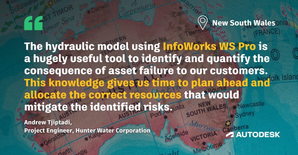
Autodesk Water’s distribution and simulation tools allow for effective planning and design of water networks, but also can be utilized in the post-build phase to understand operational changes to your network. For some example of how our water distribution tools are used, look no further than the Hunter Water Corporation, one of the largest providers in New South Wales.

Their distribution network delivers 188 megaliters of water per day, or roughly 50 million gallons per day (MGD) for any stateside readers. The utility underwent their annual risk assessment process utilizing InfoWorks WS Pro and was able to calculate the risks and impact to customers under different demand and failure scenarios. InfoWorks WS Pro also allowed them to run Critical Link Analysis (CLA) on all of their infrastructure to determine the resilience in their system.
Autodesk Water Solutions span the entire scope of the water industry – but they venture far beyond just your desktop. Leveraging Autodesk’s cloud ecosystem, not only are the capabilities of our desktop tools enhanced, but the Info360 suite of cloud products allows for connected asset management and operational insight.
The cloud: operational analytics and asset management
The cloud is a strong part of Autodesk Water’s future and is part of how we’re working to build resilient water infrastructure. Our core cloud products are Info360 Asset and Info360 Insight.
With all of these solutions being native to the cloud, Info360 Asset streamlines the inspection and asset capture process, and enables risk assessment, condition assessment, and capital planning for engineers and utility asset managers.
Info360 Insight then builds on Autodesk Water’s cloud infrastructure, even connecting to InfoWater Pro, to offer operational performance data alongside forecasting data, effectively allowing for rapid identification and resolution of emergency situations and easing the compliance reporting process.
The power of a unified Design and Make Platform
At Autodesk Water, we see our future in a unified Design and Make Platform. What this means for you is the full scope of tools you need to go from planning to designing, from designing to building, and from building to operations and maintenance, all available in the same ecosystem.
I mentioned earlier how we as engineers are always in pursuit of efficiency. This statement rings truer in light of the unified Design and Make Platform. Never has it been easier for a water engineer to go from capital planning in InfraWorks to hydraulic modeling in InfoWorks ICM. From initial hydraulic model to Civil 3D, back to iterating on simulations, back to Civil 3D… the list of workflows can go on – all in the same ecosystem.

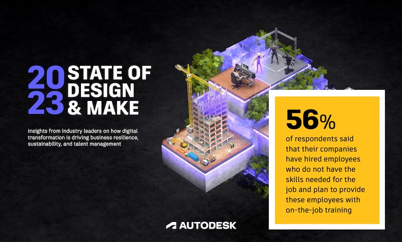
We asked, leaders answered. Download Autodesk’s 2023 State of Design & Make report for insights on how digital transformation is driving business resilience, sustainability, and talent management across all of the industries Autodesk serves.
This cohesive ecosystem for Autodesk Water allows greater efficiency for you as the engineer, the site planner, the water utility operator, the designer working towards a more sustainable water future – or any other stakeholder. Solving the daunting water distribution and water management challenges we mentioned at the start of this article can be done more effectively and efficiently with the leading digital tools at your fingertips.
So, we persist on our mission of empowering engineers to build more resilient water infrastructure, as that mission is one that benefits us all.