Can you create a combined 1D/2D model of an entire city to determine its risk for flooding?
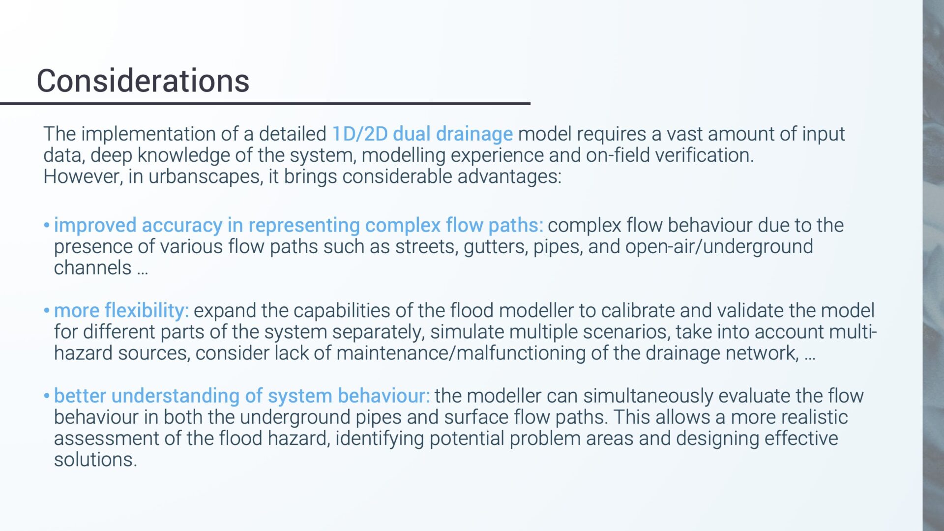
Not too long ago, the answer was no. But it’s becoming increasingly possible using GIS platforms, tools like InfoWorks ICM, and by taking advantage of the vast amount of public data that’s increasingly being shared.
This openness with sharing model data means that it’s becoming easier for cities and towns to determine their flood risks – even for cities and towns located far from rivers, sea shorelines, and water bodies. This kind of study may become more valuable, and perhaps even standard someday, as climate instability meets the seemingly unstoppable expansion of cities.
Hydraulic engineer Paolo Tamagnone has created just such a model, and he joined us recently for a webinar Assessment and Management of Flood Resilience for Cities. This is his first high-resolution pluvial flood risk assessment at city scale, although he has plenty of experience creating large hydraulic models. He previously created an InfoWorks ICM model of the pipe-and-sewer network that connects the buildings which house Florence’s cultural treasures.
Taking hydrological and hydraulic modeling to another level
Even with all of the complexities involved in a city-wide model, it’s still possible to create a hydraulic and hydrological model. Tamagnone shows how in this recorded webinar with Autodesk Innovation Manager Ruth Clarke that show how experts are developing comprehensive methodologies and strategies for flood risk assessment and flood management.
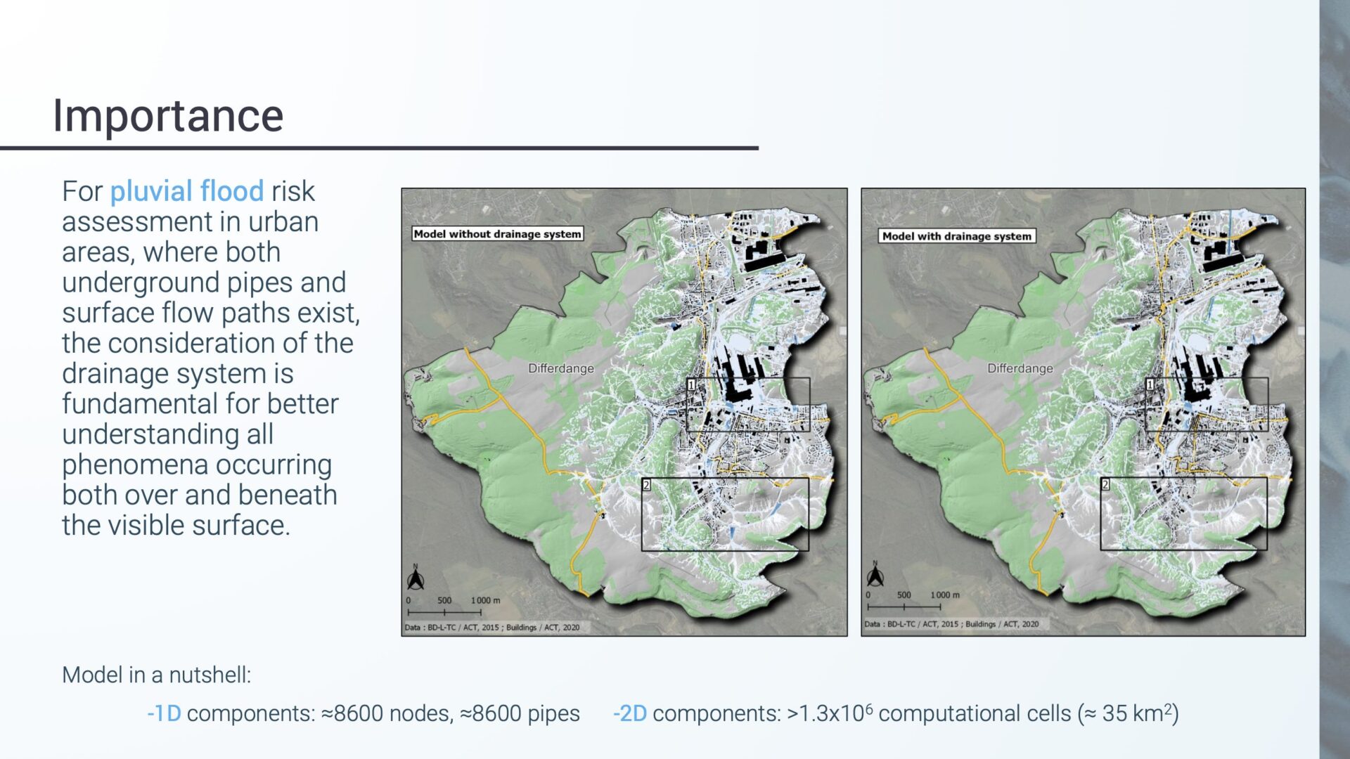
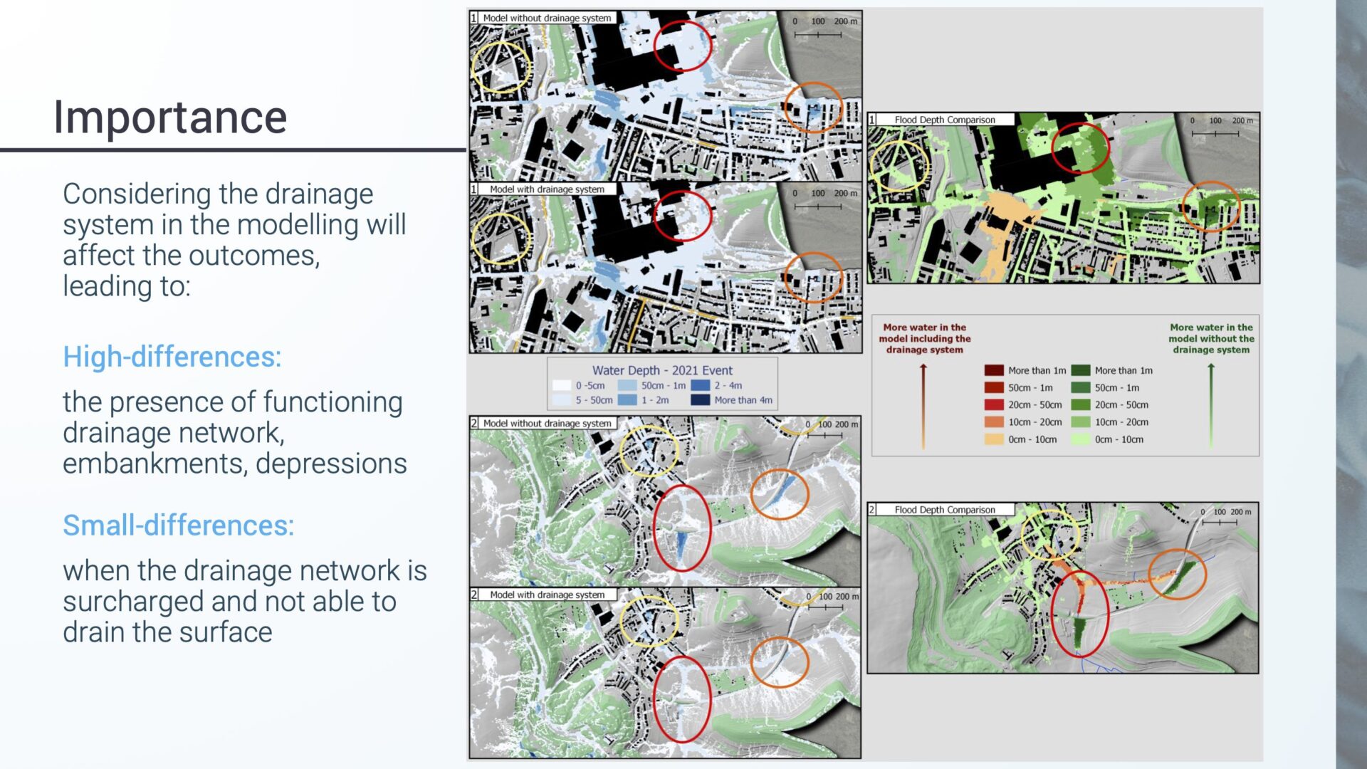
In the presentation, Tamagnone chooses Luxembourg’s third largest city, Differdange, to perform a case study with extreme rainfall-related impacts analyzed by implementing a high-resolution and fully coupled 1D/2D drainage model, simulating the flow interaction between the surface water and the below-ground sewer network.
Tamagnone was able to combine an open-access model of Differdange and add ground elevation and soil type data, along with drainage information related to all pipes, both the newer, separate stormwater system and the older combined sewer network. Important infrastructure details like flooding barriers were included in the model.
The results of the model provide an assessment into the level of hazard to which every building is exposed, identifying critical nodes within the drainage network, so that mitigation strategies can be performed. The insights gleaned from this modeling project can also be used by local and state authorities to improve their warning systems and emergency plans.
Go deeper into the story
- Read Paolo’s research paper, Pluvial flooding in urbanscapes: a full-coupled flood modelling approach, to learn all the little details he doesn’t cover in the presentation. You can also download his presentation slides.
- If you haven’t read it yet, Paolo’s work protecting Italy’s antiquities is a great case study for combining 1D and 2D modeling to get extremely accurate results and predict extreme weather effects on a city with a medieval underground that sits next to a very flood-prone river.


