-
Join Autodesk at WEFTEC 2023: What to expect every day
WEFTEC 2023 is upon us, and many of our water industry experts are headed to Chicago ready to speak about customer needs across the entire water industry. We’ll also have product demonstrations available for anyone who’s interested in adding an Autodesk water…
Events
-

The easiest way to migrate XPSWMM files into InfoWorks ICM: XP Importer
Twenty years on from the first release of XPSWMM, the water industry has demanded simulation solutions that can efficiently handle large data sets and help modelers understand advanced flow conditions across multiple catchments, and simultaneously model different climate scenarios and mitigation options.…
Product news
-

InfoWorks ICM 2024.3: XP Importer, UI simplification, and Grid Layouts
InfoWorks ICM’s most recent version update provides new XP Importer functionality for users migrating from XPSWMM and XPStorm models into InfoWorks ICM, UI simplifications, and additional improvements to grid and shareable property layouts. Our development and QA team have been heavily focused…
Product news
-

Recap: Autodesk’s presence at the 2023 Water Infrastructure Conference in Philadelphia
This year’s Water Infrastructure Conference started with major flight delays and cancellations as host city Philadelphia and neighboring areas experienced severe thunderstorms, fueled by high heat and gusty winds. I myself experienced a 24-hour flight delay. On the bright side, the rest…
Events
-

4 features that set InfoWater Pro apart as a GIS-based water distribution modeling platform
As engineers, we understand the need for simple modeling interfaces that work as efficiently and autonomously as possible. Our ability to access and leverage GIS data and platforms is a critical component of the model creation process as well as our results…
Product news
-

Combining BIM and hydraulic modeling expertise to (re)build a better dam in small-town Brazil
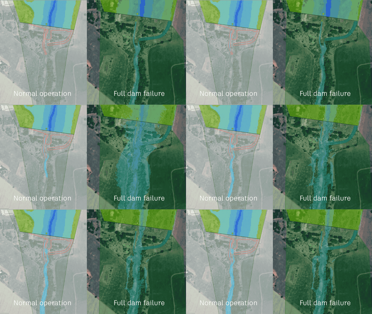
When the Diego Cuê Dam ruptured in the town of Caarapó deep in the southern tip of Brazil, it wasn’t only flooding that the authorities had to manage. The dammed lake, located in the Ayrton Senna Park, is an important recreation space…
Customer stories
-

Webinar: Creating a city-wide 1D + 2D flood model
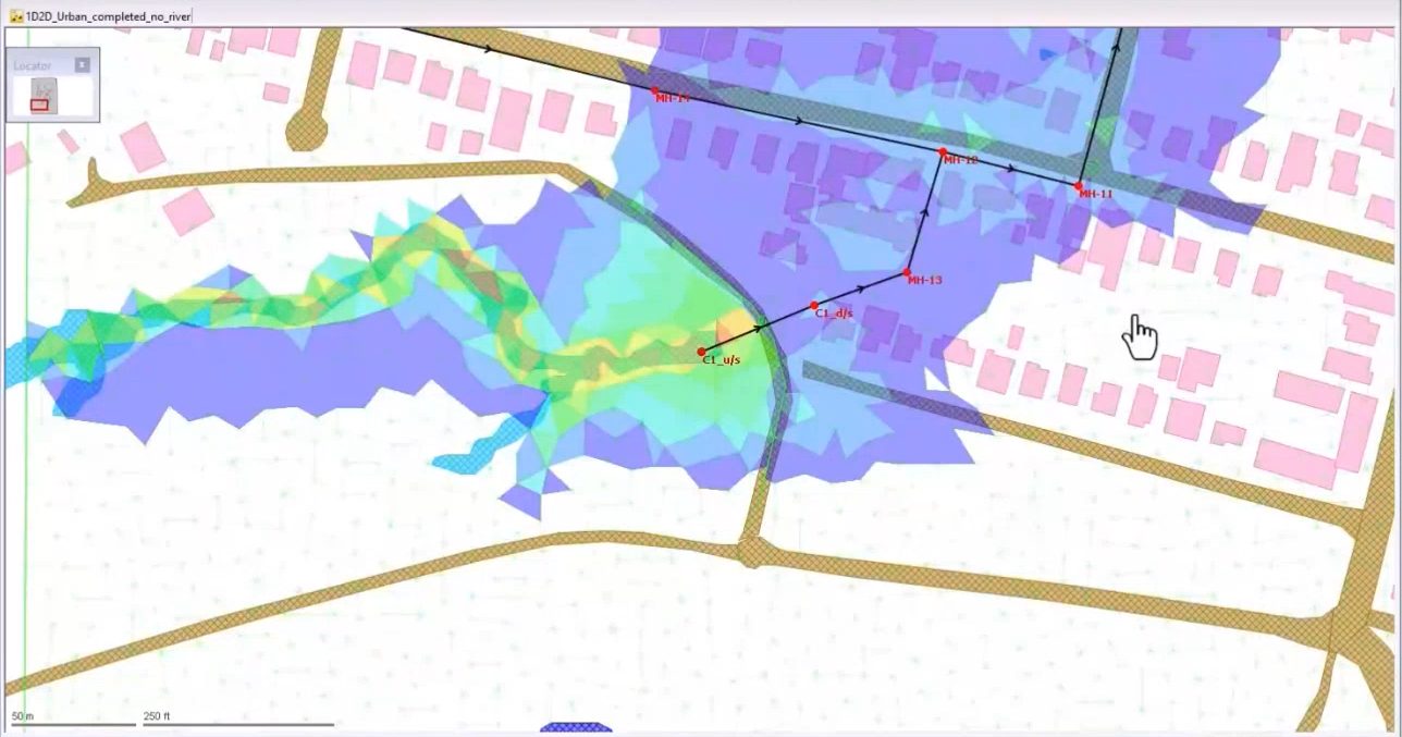
Can you create a combined 1D/2D model of an entire city to determine its risk for flooding? Not too long ago, the answer was no. But it’s becoming increasingly possible using GIS platforms, tools like InfoWorks ICM, and by taking advantage of…
Storm, sewer, flood
-

InfoDrainage Standard vs Ultimate: What’s the difference?
Autodesk’s InfoDrainage is a drainage design and analysis solution that designers, developers, landscape architects, engineers, consultants and approval authorities rely on to: Water professionals who are completely new to InfoDrainage sometimes ask us which version they need to get started. For many…
Drainage design
-

Can you really calculate a river’s path using Pi?
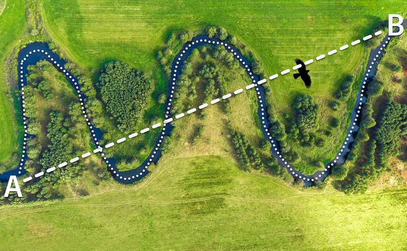
We investigate whether Pi (π) can actually be used to help compute details related to a river’s path. Is there something special about Pi that can make modeling rivers, bridges, culverts, spillways, levees, floodplain and floodway delineations, stream diversions, channel improvements, and…
Commentary
-

Autodesk Water Solutions for every stage of the water lifecycle
By 2050, the Organization for Economic Cooperation and Development (OECD) predicts that water demand will increase by 55%. In the same period, UNESCO estimates that north of 2.5 Billion people could face a water shortage. That’s billion with a B. There’s another side of the coin as…
Commentary