Watch the 2020 Autodesk film, TV, games, and design visualization show reel (4:08 min.)
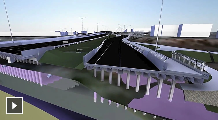
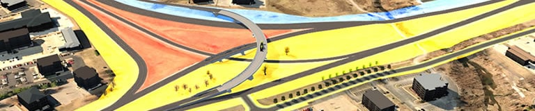
Integrating BIM and GIS puts data at the center of projects at Cardno
FUTURE OF MAKING THINGS
Integrating BIM and GIS is about placing information at the center of projects. At Cardno, this integration helps them make better design decisions and that feeds into the the delivery of more sustainable and resilient infrastructure.
Related products
-

Powerful BIM and CAD tools for designers, engineers, and contractors, including Revit, AutoCAD, Civil 3D, Autodesk Forma, and more
-
-