What is resilience planning? 6 steps to plan for disaster recovery
To make disaster resilience planning equitable and effective, it’s important to involve the community, improving the everyday lives of people.
Jeff Link
January 25, 2023 • 14 min read
After Hurricane Katrina, it was clear that resilience planning in the United States needed a major overhaul.
Planning for resilience must take into account many stakeholders, including governments, experts, and the affected communities.
To combat climate change, disasters, and attacks, recovery plans should be people-focused, equitable, and responsive to real-world needs.
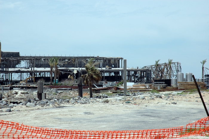
In late August 2005, when Hurricane Katrina struck the Gulf Coast, New Orleans was thrown into chaos. Roughly 80% of the city was underwater. There was no electricity or water service. Overnight, 450,000 people had to evacuate their homes.
Steve Bingler, the founder and CEO of Concordia, a community-focused planning and architectural studio in New Orleans, evacuated his home in the French Quarter—which is entirely above sea level and one of the highest elevation areas in the city—fleeing to Houston for refuge.
In his presentation for Urban Land Institute’s October 2021 meeting, titled “Sea Changes: Whole-Systems Community Planning for Extreme Weather,” Bingler detailed the hurricane’s aftermath, which was unlike any post-disaster scenario a US city had ever experienced. A precedent did not exist for how to recover from a massive Category 5 hurricane that filled the streets with water and formed pools inside buildings.
“Nobody could come back,” he says. “I live in New Orleans and fled to Houston, then to Atlanta, and then to Manhattan for a year. During that process, the need was very urgent to get a plan together for the city’s recovery.”
But that took time. The first plan, unveiled to hundreds of residents at the Sheraton Hotel by Mayor Ray Nagin’s Bring New Orleans Back Commission, called for abandoning several low-lying areas of the city.
The plan may have made sense from a purely physical standpoint, Bingler says, but it failed to account for the fact that low-lying areas in the city were occupied mostly by the African-American community—people who had been forced into lower areas of the city back in the 1950s due to redlining, the discriminatory practice of denying services to residents based on their race or ethnicity.
Bingler recalls of the plan unveiling: “The first individual who stood up at the microphone, who was African-American, spoke to the leader of the of the committee, and he said, ‘Mr. [Joseph] Cannizzaro, I live in the Lower Ninth Ward, which on your map got a big green dot [a lower lying area slated for abandonment].’ And he said, ‘I don’t know you, but I hate you.’ And it went downhill from there. So it wasn’t a physical issue anymore. It was connected to a cultural issue, a social issue, an economic issue, and even an educational issue,”
The second plan, known as the Lambert Plan and promoted by the city council, was just as problematic, only addressing portions of the city inundated with at least 2 feet of water. It was rejected by the Louisiana Recovery Authority, a state agency responsible for channeling federal funds, on the grounds that it did not appropriately consider the flood’s impact on outlying neighborhoods and suburbs.
Seven months after the storm, there was still no plan or federal funding for relief efforts. That’s when Concordia New Orleans was called on to produce the 10-year, $14.5 billion recovery and rebuilding plan it called the Unified New Orleans Plan, a multidimensional recovery and resilience plan, funded in part by $3 million from the Greater New Orleans Foundation on behalf of the Rockefeller Foundation.
Stemming from grassroots community efforts and an understanding of the disproportionate effect of severe weather events on vulnerable communities, the five-month process engaged 9,000 people, 64% of them African-American, from New Orleans to Dallas. The resulting resilience plan provided a roadmap for building flood-resilient infrastructure; creating rental and affordable housing; rebuilding schools, health, and social services facilities; and reestablishing police and fire stations.
Public exit surveys suggest it was widely embraced by the community. So why did it work where other plans failed?
“Trust is the central issue,” Bingler says. “People have a hard time trusting anybody else with their lives, and their livelihoods, going forward. They have to be involved. It’s not just politicians whom they don’t trust. It’s just human nature that when life-changing decisions are being made, you have to be there.”
What is resilience planning?
Resilience planning is a “squishy” term with a wide berth, says Marissa Aho, policy director and chief resilience officer for the Washington State Department of Natural Resources, previously the chief reliance officer for Houston and Los Angeles. Resilience planning must take a multidimensional approach to prepare for, mitigate, and respond to catastrophic events. It is generally understood as a way for cities and states to bounce back from shocks and prepare for future risks. Shock events include climate disasters like hurricanes, earthquakes, and fires and criminal plots like cyberattacks and acts of terrorism. Resilience planning also takes into consideration chronic stresses such as aging infrastructure, homelessness, supply-chain shortages, and economic inequality.
“Particularly in engineering and architecture, it’s being able to look 50 or 100 years in the future and see what the risks will be, then create infrastructure and buildings that can withstand those risks—not today’s risks, the future risks,” Aho says. “We know what they will be—it’s being able to adjust and adapt.”
A good plan also needs to be systemic. The Unified New Orleans Plan addresses six domains of risk: physical, economic, social, cultural, educational, and organizational. It used newsletters, surveys, call centers, games, four rounds of meetings in 13 districts, outreach to displaced residents in other cities, and virtual meetings to allow citizens to voice their concerns and share ideas. These community-engagement sessions should happen at the neighborhood, district, and regional levels; help define low-, medium-, and high-risk areas; and devise solutions appropriate to each risk level.
Benefits of community resilience planning
Community resilience planning is important to prepare for and rebound from disasters—and to improve the everyday lives of people.
A playbook for building and infrastructure planning created by the National Institute of Standards and Technology (NIST) cites several additional benefits to a resilient built environment in the aftermath of a natural or human-caused hazard. These include:
Less physical, economic, environmental, and social damage.
Faster recovery from hazards.
The preservation and improvement of health and education services.
Cost savings on relief and rebuilding efforts.
The creation of community-wide infrastructure assets “such as a livable, walkable community connected to the natural environment.”
Although the nonprofit 100 Resilient Cities dissolved, chief resilience officers and some of the staff of the organization, with support from the Rockefeller Foundation, relaunched in 2020. Under the name Resilient Cities Network, the organization broadly focuses on climate adaptation, energy conservation, and “any social and infrastructural fault line that a shock might expose,” as Laura Bliss described the founding organization’s mission in Bloomberg City Lab.
Depending on the city, that might include plans for increasing access to affordable housing, health care, and social services—as well as improving mobility and transportation options.
“When we talk about resilience, we talk about how the most vulnerable people, places, and systems are disproportionately affected by shocks and stresses,” Aho says. “Part of the resilience work is to look at those underlying stresses and conditions and try to solve for them so that folks are in a better position to withstand a shock when it comes. In Houston, it’s the same folks over and over again who are disproportionately affected—whether from flooding or a winter storm or COVID. CDC vulnerability data, and other data, show this.”
Resilience planning can even save lives. Don Dusenberry, consulting principal of engineering mechanics at Simpson Gumpertz & Heger Inc., was a member of the building-performance team that examined the Pentagon following the 9/11 attacks. Although the Pentagon wasn’t specially designed for resilience against collapse, Dusenberry says its performance after the attack has been a useful guide in the American Society of Civil Engineers’ creation of standards for “disproportionate-collapse-mitigation techniques” to reduce the risk of systemic failure in government buildings, high-rise lobbies, and bridges.
“Even though the airplane basically landed in the Pentagon on the first floor, the upper floors didn’t collapse immediately,” he says. “They stayed for 15 to 20 minutes, enough time for the occupants on the upper floors to evacuate. The structure had enough residual strength—in part because the exterior wall was infilled with masonry, making all the upper floors work together to span over the damage as a very deep beam.”
6 steps to create a community resilience plan
Resilience planning varies by city and region, Bingler says. While land subsidence and flooding in southern Louisiana resembles problems in global coastal communities from Vietnam to Bangladesh, California and Washington are under the strain of escalating heat and wildfires, and West Virginia and Kentucky face threats from mudslides and riverine flooding. Approaches to these urgent calamities are often led by a city’s chief resilience officer and require participation from leading authorities in climate science; elected officials; architects and engineers; city housing, transportation, and development agencies; and, most of all, residents themselves.
“It has to be understood that the plan is a people’s plan,” Bingler says. “The elected officials and all of the engineering and other specialists are working on behalf of the community—not the community working on behalf of elected officials. If that pact between leadership and community doesn’t exist, then the plan will not succeed, because people’s lives are at risk.”
The NIST playbook, which outlines the six-step approach for community resilience planning summarized below, is a good place to begin the process.
Form a diverse and representative collaborative-planning team of key decision makers, community leaders, and stakeholders.
Collect information about the community’s building and infrastructure systems and social, cultural, and economic functions.
Assess the performance ability of the built environment to recover from anticipated shocks and continue to serve its intended functions.
Plan for development based on resiliency gaps the community has identified.
Document community resilience goals, plans, and implementation strategies.
Track the performance of the adopted strategies and solutions across public and private organizations.
Concordia’s “Sea Changes” report, drafted with funding from the Rockefeller Foundation and Walton Family Foundation, leveraged the expertise of an 82-person team and is another useful guide. Developed in concert with LA Safe, a southern Louisiana resilience planning initiative funded by the US Department of Housing and Urban Development, the report evaluated the efficacy of the Unified New Orleans Plan and assessed what increased flood risk means for policy, planning, and design in six coastal parishes, home to a total population of nearly 1 million people.
One takeaway is the importance of using qualitative, easily-accessible data. Small group meetings of eight to 10 people hosted by an appointed fellow are often more effective than town hall–style gatherings.
“People’s eyes start glazing over in public meetings when the scientists start making presentations,” Bingler says. “And you can start to see how they feel—like, ‘I don’t want to hear you anymore.’”
At the same time, having a centralized authority, rather than working on a plan across siloed departments, helps streamline information flow.
“A very sophisticated idea about how to address agency collaboration came out of Hurricane Katrina,” he says. “Instead of having all these different departments that don’t talk to each other, let’s put everybody together in a restoration authority. The Coastal Protection and Restoration Authority of Louisiana is actually an amalgamation of organizations within the state.”
Climate adaptation and population migration
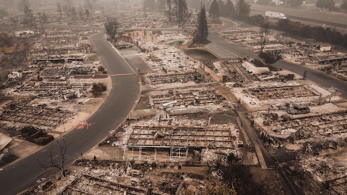
Given the urgency and acceleration of hurricanes, wildfires, and droughts across the globe, Bingler says, resilience planning needs to be built around a two-part strategy: mitigating risks that can be safely controlled and retreating from those that cannot.
The Sea Changes report outlines several mitigation strategies, including fortifying harbors and fisheries, building retention ponds and wetland parks, elevating houses on stilts, reinforcing levees where needed, and integrating climate change education into schools. Bingler says that a key idea is to “work with nature rather than against nature and use nature-based solutions rather than brute engineering.”
For instance, instead of building levees—which Bingler says have contributed to sinking soil and the loss of cypress trees and marsh grasses in a river system configured like a bird’s foot—planners in New Orleans are learning to look in the opposite direction. By dredging sediment from waterways to rebuild eroded land masses and inviting water inland, they can start to return the hydrological system to its state prior to the 1927 flood, before the introduction of levees, when the city was less susceptible to filling up “like a bathtub” and flooding during storm surges.
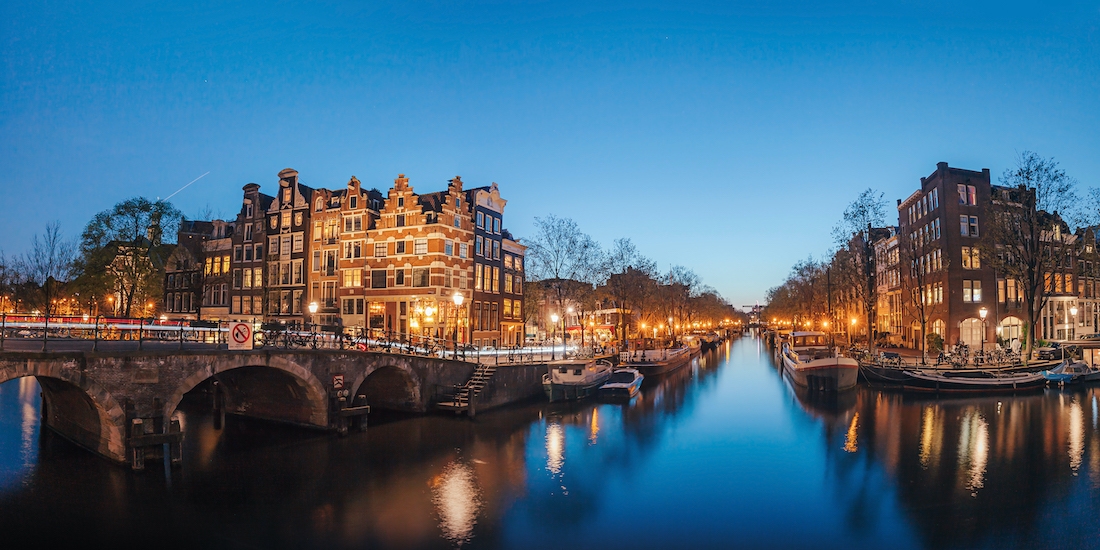
“The Netherlands has been doing this for about a thousand years now,” he says. “They learned they had to live with water and let water in. They said, ‘Let’s build some beautiful canals; let’s put our high-rent, hybrid housing along these beautiful canals.’ So if you go to Amsterdam, those beautiful canals are actually stormwater management systems.”
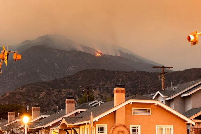
Still, it may be too late for mitigation efforts to resist advancing climate change. The Fourth National Climate Assessment, released in November 2018, reports that average global temperatures will rise by up to 9 degrees by the end of this century. And as soon as 2067, under the most severe climate scenarios, Bingler says, “New Orleans will be essentially an island in South Louisiana, surrounded almost completely by water … the Atlantic Ocean might extend as far as Richmond.”
This is where the notion of “retreat” comes into play.
“We need to focus at least some of our attention a couple hundred miles inland,” Bingler says. “A lot of the younger people recognize the changes that are coming. And they’re more interested in, and more likely to, resettle. In fact, it’s predicted now that by 2100, there will be a migration of about 13 million people in our country inland from the coast.” This statistic comes from a machine-learning study by USC researchers published in the journal PLOS ONE.
Resilience planning and lessons from the pandemic
Whether it’s managing population migration or responding to the COVID-19 pandemic, planning for the development of a resilient built environment coincides with other related concerns. A recent survey of small- and medium-size businesses conducted by NIST researchers in collaboration with the National Oceanic and Atmospheric Administration (NOAA) found that 29% of respondents had experienced a natural disaster during the pandemic. More interesting, perhaps, 24% of respondents said “experience preparing for natural disasters in the past helped them during the COVID-19 pandemic,” citing “rainy day funds” and “telework readiness” as disaster-preparedness approaches that helped them address COVID-19.
The lesson is that resilience planning may have benefits beyond natural-disaster preparedness and mitigation—so it needs to be viewed through a holistic lens.
The future of resilience planning
President Joe Biden’s Infrastructure Investment and Jobs Act echoes many of the themes that have defined the urban resilience movement in the past decade. As reported in the New York Times, a combination of spending and tax credits would be used to: build roads, bridges, and airports resilient to extreme weather events; update the electric grid and encourage electric vehicle manufacturing; and launch a Clean Energy Standard mandating a percentage of electricity in the US be generated by zero-carbon sources, such as wind and solar power and possibly nuclear power.
While engaging local governments to coordinate across jurisdictional lines requires federal funding, money alone cannot solve the climate crisis that is mounting by the day. A series of reports accessible from the EPA’s website outline what resilience and recovery approaches might look like if advanced by coordinated teams at the local level.
To help understand and respond to local needs, FEMA developed a free GIS map that allows community leaders to examine census data, infrastructure locations, real-time weather forecasts, historic disasters, and the annual frequency of hazard risk in near real time. Information about flood-insurance programs, infrastructure grants, counterterrorism initiatives, and training for first responders and emergency managers is also available on FEMA’s website.
Bingler says he was encouraged by the American Jobs Plan and believes it may be “the beginning of a possibility that we can plan our way out of this crisis.” But he also stressed that winning the trust of local communities is what ultimately pushes resilience planning forward, and this is where the real work needs to happen.
“In South Louisiana, people can stand on a dock and look out and say, ‘See where all that water is? That was marsh just 10 years ago,’” he says. “But they might also say, ‘I don’t believe in climate change.’ When people get nervous and they get afraid, they hunker down; they don’t reach out.”
But that doesn’t mean they should be exclude them from the planning process. They should be called in.
“We have to approach these challenges as a whole community,” Bingler says. “There is no expert, no politician, no foundation that can solve problems of this magnitude. It’s really kind of an ‘all-of-us’ instead of ‘some-of-us’ solution, because the challenges are really going to be that big.”
This article has been updated. It was originally published in May 2019.
About the author

Jeff Link
Jeff Link is an award-winning journalist covering design, technology and the environment. His work has appeared in Wired, Fast Company, Architect and Dwell.

