& Construction

Integrated BIM tools, including Revit, AutoCAD, and Civil 3D
& Manufacturing

Professional CAD/CAM tools built on Inventor and AutoCAD
& Entertainment

Entertainment content creation tools, including 3ds Max and Maya
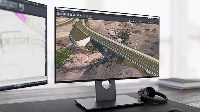
Autodesk Civil 3D design software empowers civil engineers to meet complex infrastructure challenges in a 3D model-based environment.
Accelerate design and documentation
Advance design automation
Improve collaboration and coordination
Civil 3D overview (video: 2:41 min.)
Improve your design operations with end-to-end workflows (video: 1:40 min.)
Securely store and share your project files (video: 59 sec.)
Improve productivity and quality with a dynamic 3D model–based design environment and design-driven documentation environment.
Access real-time updates and share with other Autodesk software for design, analysis, and construction.
Meet complex design challenges through interoperability with other software using the common IFC format(s).
Civil 3D includes purpose-built tools for critical civil engineering disciplines. See how Civil 3D can help you design and build better roads and highways, sites, and rail projects.
Improve design quality with Autodesk Construction Cloud (video: 1 min.)
Deliver design and construction documentation for road and highway, site design, rail, and bridge projects. Reduce overall design time with faster modeling for surfaces, corridors, terrain, and more.
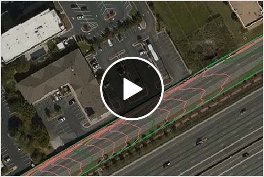
Understand existing conditions and directly integrate to your GIS. (video: 2:35 min.)
Streamline the process of incorporating geographical data into your designs, ensure accurate geolocation of assets, analyze for planning, and contextually visualize your designs.
Collaborate in real time (video: 1:36 min.)
Enable designers to author, share, and update design projects in a central data environment. Make real-time updates at any phase of the project lifecycle to share with different teams.
A separate install or subscription to another Autodesk product may be required.
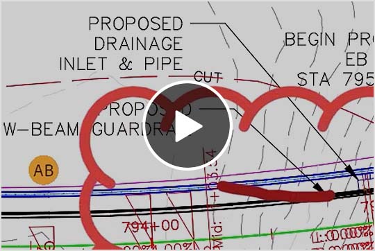
Use Grading Optimization to automate time-consuming grading tasks, explore alternatives to find optimal solutions, and return to Civil 3D to complete the detailed design. (video: 1:59 min.)
Effectively visualize and analyze geotechnical data (US Site), then easily utilize that data directly in your Civil 3D design model.
Import base and rover survey data and convert it to coordinate geometry points in a Civil 3D drawing.
WEBINAR
Gain valuable insights and techniques to reduce design time and minimize errors and rework.
BLOG
See the latest updates for efficiently designing and digitally modeling infrastructure projects.
ROADMAP
Explore the product development pipeline for Civil 3D and provide your feedback.
*Compared with purchasing each product separately.
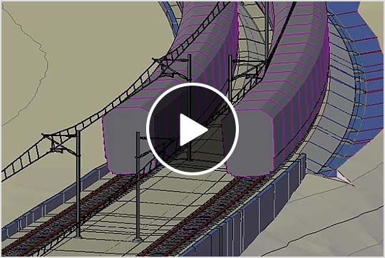
Deliver comprehensive road and highway designs more efficiently with the AEC Collection. (Watch video: 1 min.)
Connect Civil 3D road geometry to parametric bridge modeling tools in InfraWorks and custom Revit structures. (Watch video: 1:20 min.)
Bring new multidiscipline workflows and capabilities to your projects with industry-specific insights and precision-driven workflows. See the latest from the AEC Collection.
Civil 3D is used to plan, design, and deliver land development, water, and transportation projects.
Civil engineers, civil designers, and other civil infrastructure professionals rely on Civil 3D for better, more innovative project outcomes.
Yes. Students and educators can get free one-year educational access to Autodesk products and services, renewable for as long as you remain eligible. Learn more (US Site).
Civil 3D runs on Microsoft® Windows®. See Civil 3D system requirements (US Site) for details.
Your Civil 3D subscription gives you access to install and use the 3 previous versions. Available downloads are listed in your Autodesk Account after subscribing. See also previous releases available for subscribers.
The price of an annual Civil 3D subscription is
With a subscription to Civil 3D software, you can install it on up to 3 computers or other devices. However, only the named user can sign in and use that software on a single computer at any given time. Please refer to the Software License Agreement (US Site) for more information.
Autodesk provides download and install instructions for individuals and administrators. Your available downloads appear in Autodesk Account. Find your product, select a version, platform, language, and download method. For more information, visit Autodesk Knowledge Network.
Launch your trial software and click Subscribe Now on the trial screen or buy Civil 3D here. When buying your subscription, enter the same email address and password combination you used to sign in to your trial. Learn more about converting a trial to a paid subscription.
Civil 3D
InfraWorks
Model-based design for transportation, site, rail, civil structures, and other infrastructure projects
Collaboration and interoperability
Plan production and documentation


