& Construction

Integrated BIM tools, including Revit, AutoCAD, and Civil 3D
& Manufacturing

Professional CAD/CAM tools built on Inventor and AutoCAD
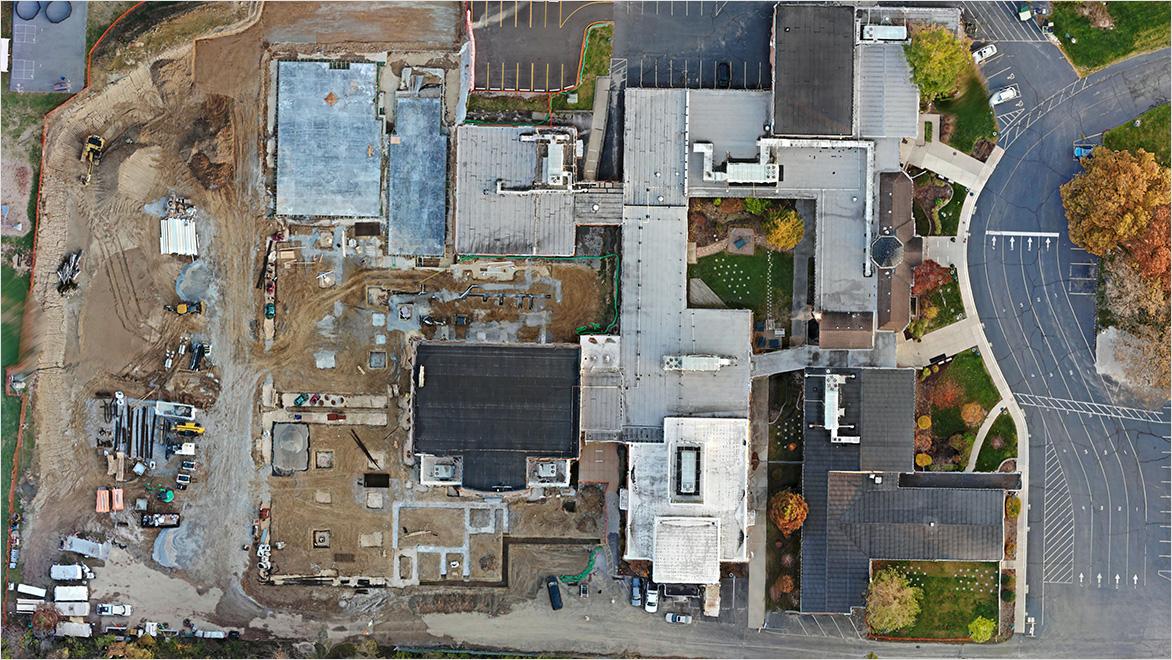
Photogrammetry is the science of measuring and mapping objects or spaces using photographs. Think of it like putting together a puzzle. You take lots of pictures of something (like a construction site) from different angles. Then, using specialised software, you stitch them together into a detailed map or 3D model. This virtual representation allows you to explore and analyse the real world on your computer.
By using photographs to measure and map out objects and landscapes, photogrammetry helps us understand the terrain of a construction site like never before.
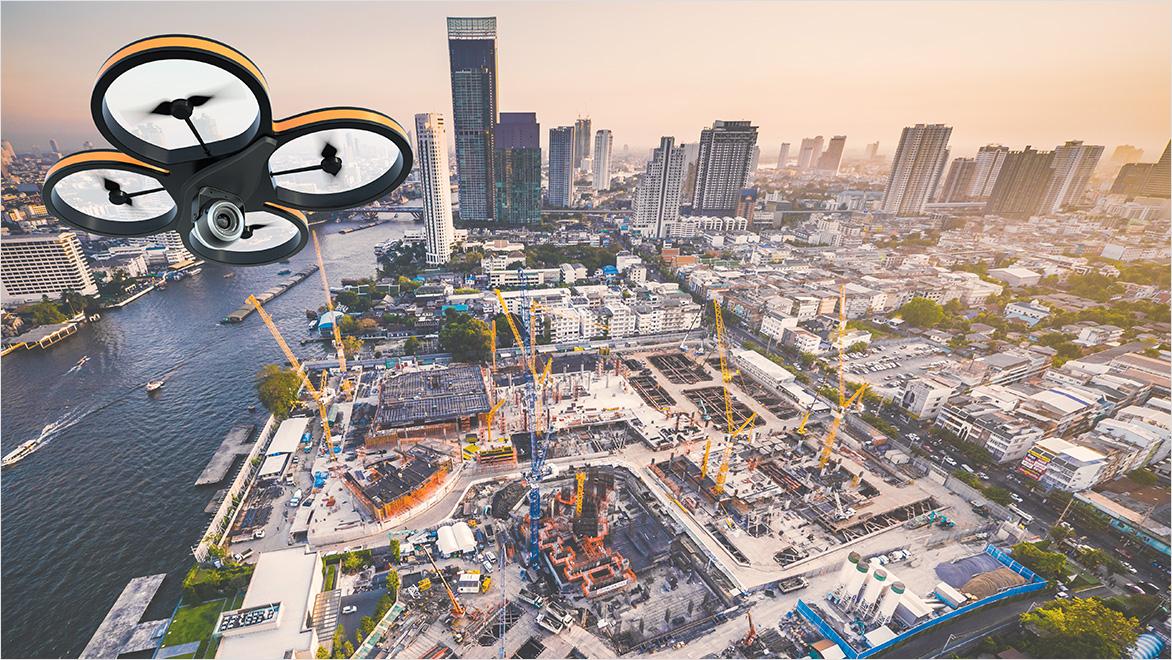
Photogrammetry has come a long way since its early days when mapmakers used aerial photographs taken from aeroplanes. As technology advanced, so did photogrammetry. Today, drones equipped with high-resolution cameras and powerful software make it possible for us to capture detailed images of construction sites in a matter of hours, significantly reducing the time and effort compared to traditional methods.
Understanding the land you're building on is like knowing the rules of a game before you play. Here's how photogrammetry helps in construction:
Before any construction starts, architects and engineers need to know what the land looks like. Photogrammetry creates detailed maps and models of the terrain, showing hills, valleys, and other important features. This helps architects design buildings that harmonise with the landscape and make informed decisions about foundations, drainage, and other key aspects.
Traditional methods of surveying land can take a lot of time and money. Photogrammetry speeds up this process. With a drone and some software, you can survey a large area quickly, which means construction can start sooner.
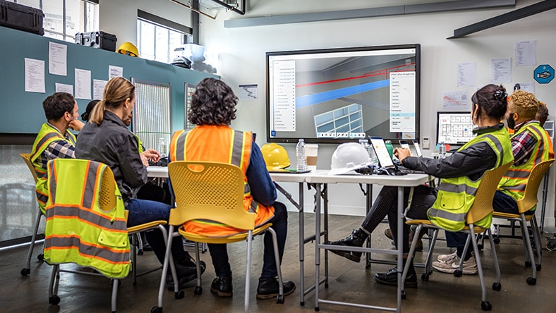
Construction projects involve multiple stakeholders, including engineers, architects, site managers, and workers. Photogrammetry offers clear, visual representations of the site that everyone can understand. Regular updates help keep your entire team on the same page and minimise mistakes.
As construction progresses, photogrammetry allows you to see how the project develops in real-time. By comparing new images with earlier ones, project managers can track developments, identify completed work, and pinpoint areas that require attention. This proactive approach helps keep projects on schedule.
Certain areas of a construction site may be dangerous for personnel. Using drones to capture images eliminates the need for workers to physically access these locations.
Photogrammetry occurs thanks to powerful tools that process the sometimes thousands of photographs into actionable information.
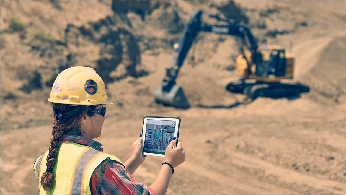
The first step is collecting photos. This is usually done with drones flying over the construction site, taking pictures from different angles.
Specialised software, such as Autodesk ReCap, processes these photographs by identifying common points across different images. By triangulating these points, the software constructs an accurate 3D model of the site.
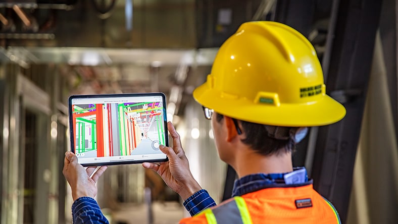
The resulting 3D model can then be imported into design software like Autodesk Civil 3D for planning and designing based on precise, real-world data.
Let's look at how photogrammetry is changing construction projects.
For large-scale projects like bridges, highways, and skyscrapers, understanding the terrain is vital. Photogrammetry provides detailed models that inform the design process, ensuring that structures are compatible with the site's features.
In crowded cities, space is limited. Photogrammetry helps planners see where new buildings can fit and how they will affect the surrounding area. It helps assess how new buildings will interact with existing structures and infrastructure.
Image courtesy of SP Architects.
Construction can impact the environment. By using photogrammetry, builders can plan projects that minimise harm to nature.
Image courtesy of Munden Fry Landscape Associates.
Photogrammetry is largely broken into two main types: aerial and terrestrial.
Aerial photogrammetry involves capturing images from the air using drones, aeroplanes, or satellites. It's ideal for:
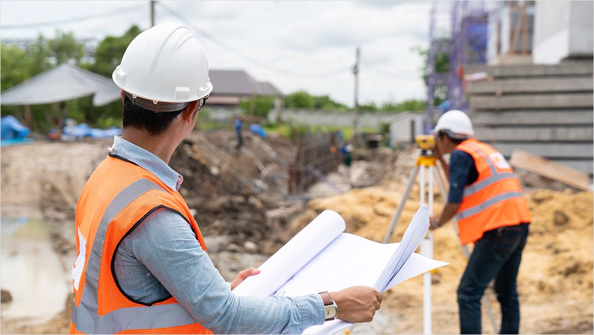
Terrestrial photogrammetry is a method where photographs are taken from the ground using cameras mounted on tripods, poles, or handheld devices. It’s best suited for:
Using both methods together gives construction professionals a more comprehensive understanding of a construction site.
In the fast-paced construction industry, especially within India's dynamic landscape, understanding the terrain of your construction site is essentially building a roadmap for success. Photogrammetry transforms ordinary photographs into powerful tools, enabling you to plan, build, and manage projects more effectively than ever before. By embracing this technology, you're not just constructing buildings; you're creating structures faster, safer, and with greater efficiency.
Call 000-800-040-2543 (9:30 AM to 5:30 PM India local time) if you need our assistance.
Learn the basics of photogrammetry and how it applies to construction projects.
Explore tutorials and guides on using Autodesk ReCap to process photographs into 3D models.
Discover how to incorporate photogrammetry data into Building Information Modeling (BIM) using Autodesk Civil 3D.
Photogrammetry is the science of using photographs to measure and map objects or spaces. In construction, it involves taking multiple photos of a site from different angles and processing them to create accurate 3D models and maps. This helps architects, engineers, and site managers visualise the terrain and plan projects more effectively.
By generating detailed 3D models of the terrain, photogrammetry provides a clear picture of the site's topography, including hills, valleys, and other features. This information is crucial for planning foundations and drainage systems and ensuring the structure fits well with the landscape.
Photogrammetry surveying offers several advantages:
You'll need:
Photogrammetry can achieve accuracy levels comparable to traditional surveying methods when done correctly. Factors affecting accuracy include the quality of the camera, the number of photos taken, and the software used. Proper planning and execution are essential to achieve the best results.
By providing detailed 3D models and maps, photogrammetry allows for better site visualisation and understanding. This aids in:
Yes, photogrammetry can be cost-effective. While there is an initial investment in equipment and software, the savings from reduced surveying time, labour costs, and improved project efficiency often outweigh the expenses. It can be particularly beneficial for large or complex sites.
Yes, photogrammetry data can be integrated with BIM software. The 3D models generated can serve as a foundation for detailed design and planning within BIM platforms, enhancing collaboration and ensuring consistency across project stages.
