& Construction

Integrated BIM tools, including Revit, AutoCAD, and Civil 3D
& Manufacturing

Professional CAD/CAM tools built on Inventor and AutoCAD

Integrated BIM tools, including Revit, AutoCAD, and Civil 3D

Professional CAD/CAM tools built on Inventor and AutoCAD
Transcript
00:04
In info works.
00:05
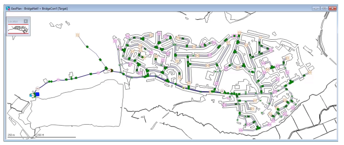
WS pro the GEO plan window shows a
00:08
geographical representation of a water supply network.
00:12
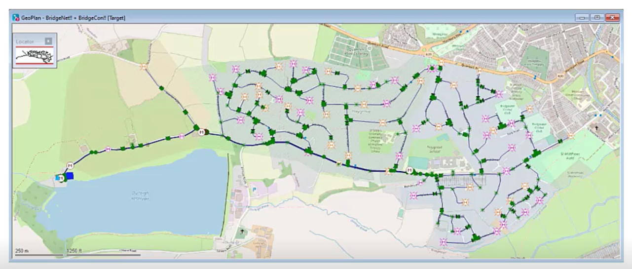
This model view can be displayed over a background layer such as a map or a
00:16
raster image like an aerial photograph or a
00:19
digital elevation map or other additional geographical data.
00:25
For example,
00:26
this visualization can be used to see where
00:28
the network elements are in relation to roads,
00:31
reservoirs and buildings.
00:34
You can save layer lists which are sets of one or more background
00:38
layers in the database and then reload them later in any model.
00:42
Then you can open previously used layers each time the network is
00:46
opened without having to load them into the software each time.
00:50
The path and file name of the files
00:52
containing map layers are stored within the database.
00:55
Therefore, when using backgrounds,
00:57
you must ensure that the files remain in their specified location or info works.
01:02
WS pro will be unable to reload them.
01:06
In addition, because layers are stored on the network.
01:09
Any customizations you make to the background layers will be
01:12
shared with those who have access to the network,
01:16
which file formats are supported will depend on the selected map control such as map
01:21
stream, which is the default or an ARGI
01:24
plug in. However, both map controls support shape files dot SHH
01:28
P.
01:30
Some of the GEO plan functionality is provided by third party GIS software
01:35
that allows the display of background maps in additional layers in P BBI or
01:40
RI format
01:43
background layers can be imported from GISS
01:45
data or from a selected web map service WMS layer.
01:51
Background layers are a powerful tool for working with models as they
01:54
can provide visual context and vector layers can be used with queries.
Video transcript
00:04
In info works.
00:05
WS pro the GEO plan window shows a
00:08
geographical representation of a water supply network.
00:12
This model view can be displayed over a background layer such as a map or a
00:16
raster image like an aerial photograph or a
00:19
digital elevation map or other additional geographical data.
00:25
For example,
00:26
this visualization can be used to see where
00:28
the network elements are in relation to roads,
00:31
reservoirs and buildings.
00:34
You can save layer lists which are sets of one or more background
00:38
layers in the database and then reload them later in any model.
00:42
Then you can open previously used layers each time the network is
00:46
opened without having to load them into the software each time.
00:50
The path and file name of the files
00:52
containing map layers are stored within the database.
00:55
Therefore, when using backgrounds,
00:57
you must ensure that the files remain in their specified location or info works.
01:02
WS pro will be unable to reload them.
01:06
In addition, because layers are stored on the network.
01:09
Any customizations you make to the background layers will be
01:12
shared with those who have access to the network,
01:16
which file formats are supported will depend on the selected map control such as map
01:21
stream, which is the default or an ARGI
01:24
plug in. However, both map controls support shape files dot SHH
01:28
P.
01:30
Some of the GEO plan functionality is provided by third party GIS software
01:35
that allows the display of background maps in additional layers in P BBI or
01:40
RI format
01:43
background layers can be imported from GISS
01:45
data or from a selected web map service WMS layer.
01:51
Background layers are a powerful tool for working with models as they
01:54
can provide visual context and vector layers can be used with queries.
In InfoWorks WS Pro, the GeoPlan window shows a geographical representation of a water supply network. This model view can be displayed over a background layer, such as:
For example, this visualization can be used to see where the network elements are in relation to roads, reservoirs, and buildings.

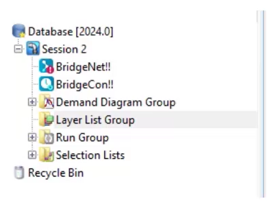
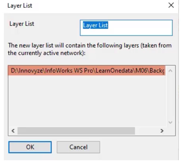
Layer lists, which are sets of one or more background layers, can be saved in the database, and then reloaded later in any model.

Previously used layers are opened each time the network is opened without having to load them into the software each time.

Paths and filenames of layer files are stored in the database and must remain in their specified location to be reloaded. Customizations to background layers are shared with anyone with access to the network.

InfoWorks WS Pro supports multiple file formats, such as:

Background layers are a powerful tool for working with models, as they can provide visual context, and vector layers can be used with queries.
How to buy
Privacy | Do not sell or share my personal information | Cookie preferences | Report noncompliance | Terms of use | Legal | © 2025 Autodesk Inc. All rights reserved
Sign in to start learning
Sign in for unlimited free access to all learning content.Save your progress
Take assessments
Receive personalized recommendations
May we collect and use your data?
Learn more about the Third Party Services we use and our Privacy Statement.May we collect and use your data to tailor your experience?
Explore the benefits of a customized experience by managing your privacy settings for this site or visit our Privacy Statement to learn more about your options.