Bridging location intelligence and design (video: 2:22 min.)
BIM and GIS integration
Integrate location intelligence and design to make smarter decisions that help solve real-world problems and create a more sustainable, resilient future.
Transforming BIM and GIS workflows
Together, Autodesk and Esri deliver solutions that bring together BIM and GIS, unlocking opportunities and innovations that enable Architecture, Engineering & Construction (AEC) design teams and project owners to efficiently plan, design, build, and operate.
BIM and GIS workflows: There must be a better way (video: 2:09 min.)
There must be a better way
AEC project managers, designers, engineers, owners, and operators can work better together by placing information at the center of their projects–removing silos and connecting workflows.
-
Connector for ArcGIS in action
The Autodesk Connector for ArcGIS maintains a live connection between InfraWorks, Civil 3D, and ArcGIS.

BIM and GIS cloud collaboration
A cloud-to-cloud connection between BIM and GIS systems combine project information from Autodesk BIM Collaborate Pro with geospatial context.
What our customers say
-
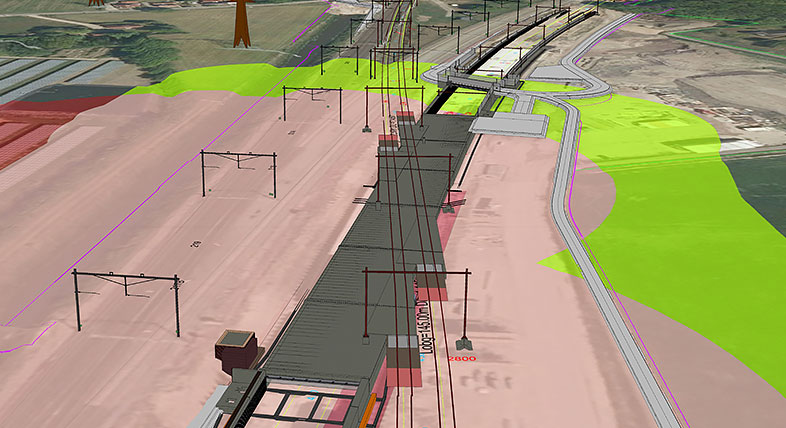
![Rendering of VolkerWessels rail expansion]()
VOLKERWESSELS
Streamlined workflows through BIM and GIS
“Integrating GIS as a standard step in the workflow is one of the most important things we have done.”
–Jeroen Tishauser, Senior Specialist, VolkerWesselsImage courtesy of VolkerWessels
-
![Rendering of VolkerWessels rail expansion]()
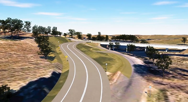
CARDNO
Integrating BIM and GIS
Global Technical Services Manager Blair Cheyne talks about Cardno’s experience with bringing together BIM and GIS.
Image courtesy of Cardno
-
![Rendering of VolkerWessels rail expansion]()
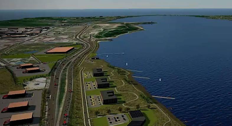
OBG
BIM and GIS improves project outcomes
Hear firsthand from OBG Senior Technical Applications Manager Chuck Pietra about how OBG uses BIM and GIS together to improve their project outcomes.
Image courtesy of OBG
Discover the benefits of connecting BIM and GIS
The fusion of BIM and GIS
Combine location intelligence with design processes to transform project planning, design, construction, and operations.
Sustainable AEC industry practices
Learn how the integration of BIM and GIS facilitates data-driven approaches to AEC projects, leading to more sustainable outcomes.


