
What
When the design is complete and ready for construction, the first step for surveyors is to lay out locations on the construction site. Today, many technologies help surveyors lay out locations.
Who
Surveyors.
How
The fastest solution is to extract coordinates of points along objects such as a specific alignment or one side of an excavation area. Civil 3D mostly uses COGO points to extract coordinates.
You can create and extract COGO points in several ways. Here are some common options:
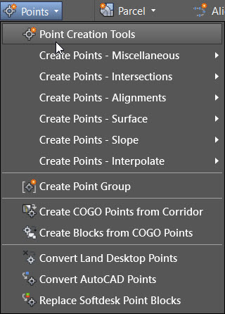
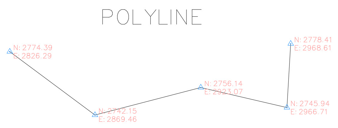
- Create Points – Miscellaneous. Civil 3D starts with a generic element like a polyline or 3D polyline. It can extract COGO points from all the polyline vertices without manipulating them.
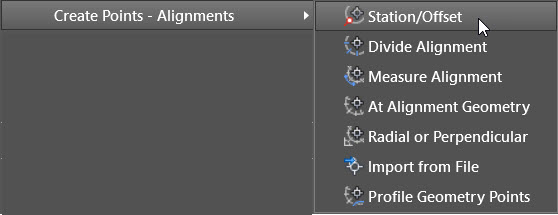
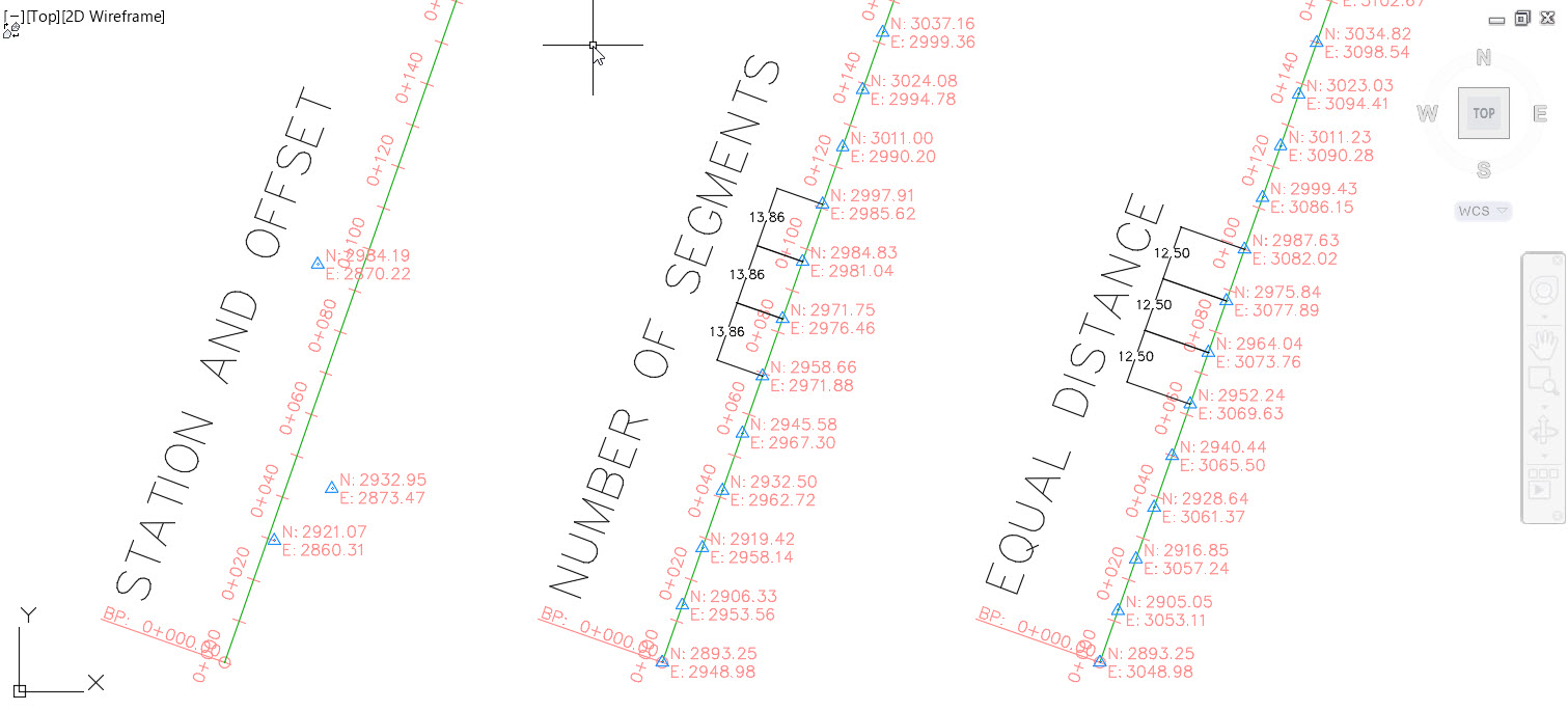
- Create Points – Alignment. Civil 3D starts with one alignment, and then extracts points according to different criteria such as station and offset, number of segments, or equal distance between points.
- Create COGO Points From Corridor. Civil 3D extracts COGO points directly from each feature line of a corridor.
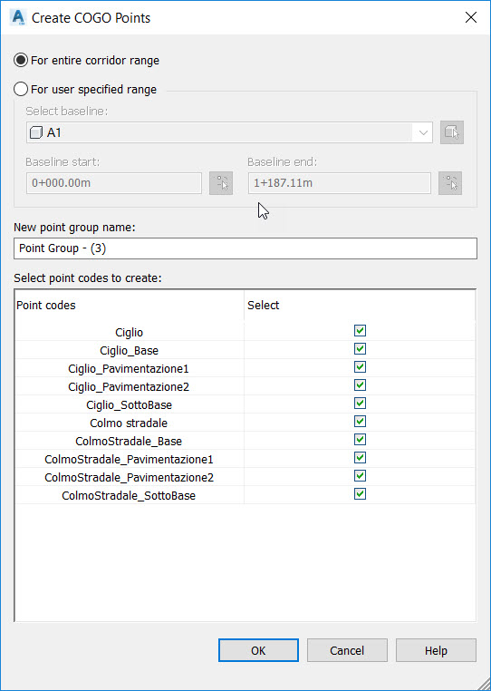
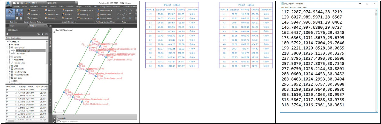
After extracting points, you can edit COGO point styles, create COGO point groups, and add descriptions and tables for each group. You can also export points as an ASCII file.
Why
COGO points are extremely flexible. Because they are based on dynamic elements, you can manipulate these elements with either AutoCAD or Civil 3D.
What next
Define point groups for faster and better point management, and to export COGO Points as an ASCII file.


