& Construction

Integrated BIM tools, including Revit, AutoCAD, and Civil 3D
& Manufacturing

Professional CAD/CAM tools built on Inventor and AutoCAD
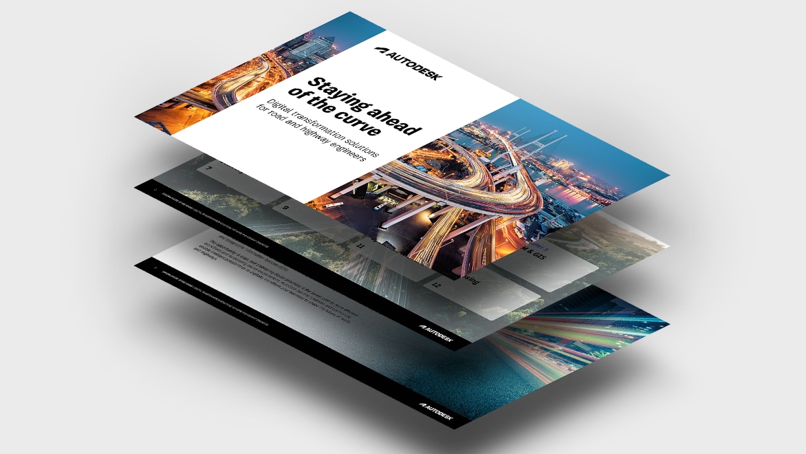
As regulations increase, deadlines shorten, and projects become more complex, civil engineers must embrace digital technologies to be as efficient as possible and keep design quality up. Our new e-book is packed with valuable insights for road and highway engineers dealing with these pressures, including:
Download the e-book now to gear up for the future of roads and highways.
Design, collaborate, and deliver resilient roads and highways from a single cloud-based platform. Drive efficiencies in every project and win more opportunities with Autodesk software.
Unite people, data, and processes across the project lifecycle in a cloud-based, common data environment. Let project teams collaborate anytime, anywhere. Reduce errors and increase capacity using transparent and connected workflows; and share the right data at the right time. Your whole team can make the most informed decisions with a comprehensive project view brought to you by digital project delivery.
55% of firms using digital project delivery say it significantly increased their team’s capacity.
BIM transforms your road and highway project workflow and delivery time. With BIM, you can maximize digitalization, manage project complexity, and improve collaboration across teams from design to handover. It also helps you generate insights that empower sound, real-time decision-making.
By combining and accessing accurate data from multiple teams into a single source of truth, BIM enhances workflows across all project phases, letting you:
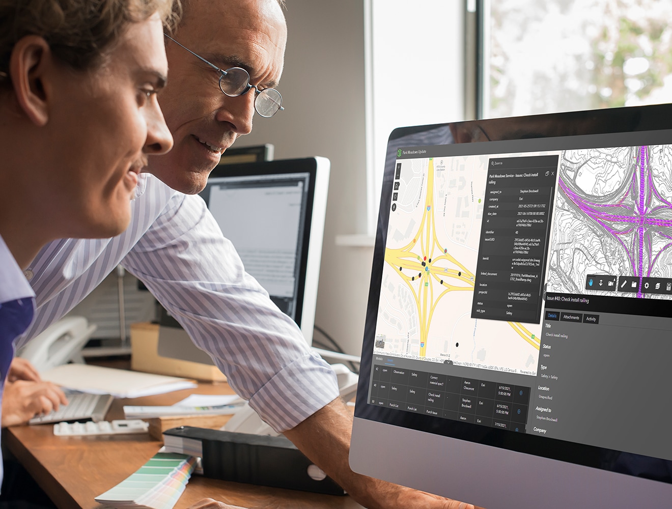
BIM and GIS cloud collaboration makes it easy for teams to explore and collaborate on designs with real-world context.
This has significant implications for project teams, including improved design review, visualization, and exploration. Teams can also rapidly map and manage issues as they emerge, and by connecting documentation to relevant ArcGIS features, they can securely and efficiently track project updates.
Achieve stakeholder requirements by integrating open IFC standards and adhering to ISO 19650 for information management. Embracing these standards offers the benefits of enhanced stakeholder collaboration, seamless interoperability, and effective long-term asset management.
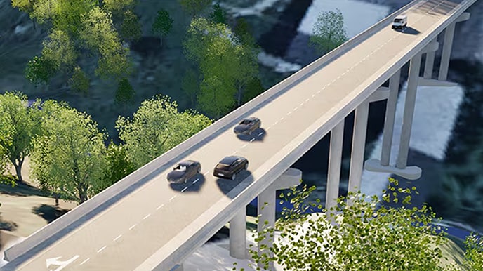
Effective drainage design is essential for preventing water accumulation on roads, which can cause pavement deterioration and accidents. Incorporating stormwater management basins, Autodesk Water solutions streamline the design process, ensuring efficient runoff management and enhancing road safety and durability.
Allow teams to seamlessly communicate, collaborate with the same data, minimize rework, and meet complex project requirements for government regulations, traffic management, and more.
Combine real-world context and information-rich models for quicker, more accurate road and highway projects from plan to hand over.
Let stakeholders collaborate in real time from anywhere, in a cloud-based environment built on data from every discipline.
Offer more competitive deadlines, impress clients and stakeholders with model and design accuracy, and boost operational efficiency to grow your project pipeline.
See how Wayss and Freytag successfully modernized 5.5km of the Havelland Autobahn using Open BIM and digital workflows.
With bridges, tunnels, and viaducts to consider in this $202M project, reducing complexity was key.
The Municipality of Genoa obtained a fully immersive reality model of building and underground utilities.
—Kelly M. Barber, Division Chief, Engineering Automation and Services Division, Pennsylvania Department of Transportation
Discover how to deliver more resilient road and highways using cloud-based workflows throughout the project lifecycle, with live demos from our experts.
Powerful BIM and CAD tools for designers, engineers and contractors, including Revit, AutoCAD, Civil 3D, Autodesk Forma and more
Cloud-based design co-authoring, collaboration and co-ordination software for architecture, engineering and construction teams. “Pro” enables anytime, anywhere collaboration in Revit, Civil 3D and AutoCAD Plant 3D.
Navisworks Manage, Navisworks Simulate software and the Navisworks Freedom 3D viewer for 5D analysis, design simulation and project review.
ARTICLE
Learn how to improve data exchange and enhance accuracy in road infrastructure projects with Civil 3D.
ARTICLE
Learn how drainage design solutions can work with civil design tools and integrate all FHWA culverts and reporting requirements for USDOT design work.
ARTICLE
A look ahead at how France plans to achieve smarter, safer road infrastructure with BIM and GIS.
ARTICLE
Reducing traffic jams means reducing air, noise, and light pollution. Here’s how Rotterdam does it with digital technology.
With reduced complexity and increased quality, deliver best-in-class rail infrastructure.
Connect multidiscipline design workflows for the layout, design, and analysis of bridges and tunnels.
Own and manage all airport project data to reduce risks and save time and money.
Empower your transportation workforce to achieve greater resilience and stability.
Speak with one of our technical experts to see how our solutions can help you design and make more resilient road infrastructure.
Road and highway design is a branch of civil engineering. Roadway design considers the location, alignment geometry, and expected use of the roadway. Roadway design and engineering is primarily responsible for providing a geometric sound (horizontal and vertical alignment) and safe (considering speed, traffic usage, and environment) roadway that can account for the material quantities required to build the road, as well as the effects on the surrounding environment.
Roadways are characterized by their classification and expected usage. Roads are designed based on projected daily traffic volumes, vehicle types, operational speed, and safety factors.
Owners and stakeholders will generally determine the roadway usage, environmental impacts, and preferred alignment location. Engineering service providers (ESPs) are generally responsible for developing final details of the road which include the horizontal and vertical geometry, the construction quantities, the cost estimate, and final plans and specification to be implemented during construction.
Owners, planners, and stakeholders use design software to determine existing conditions, evaluate maintenance operations, and assess alignment alternatives. Owners, ESPs, and general contractors also use engineering software to determine efficient design details and construction details to implement during the construction of the roadway project.
Roadway design software can offer a large variety of benefits. Engineers can create dynamic design models and evaluate design alternatives. They can use the design models to create construction plans and calculate material quantities for construction based on models generated in the software. They can create geometry reports to help the contractor implement the design intent in the field during construction. The contractor can then use digital design files in the field to locate the exact position and geometry of the roadway element to expedite the construction process. This helps to reduce errors and rework, and reduce overall risk.
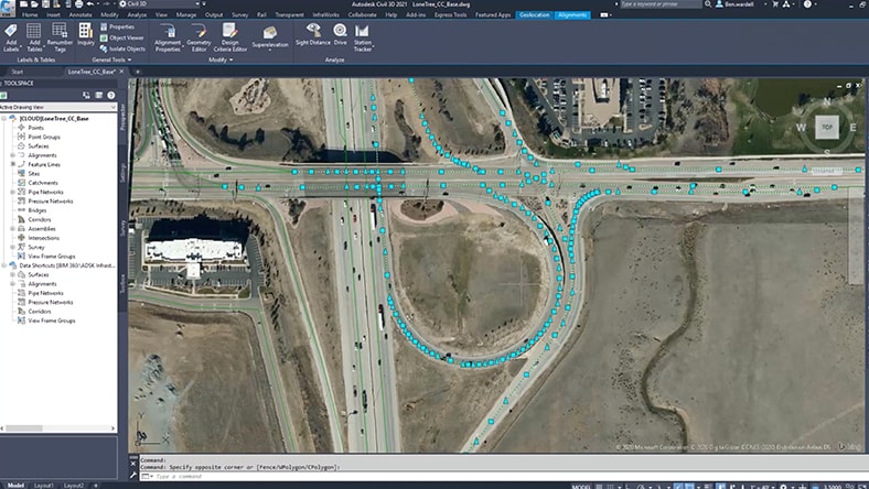
With Civil 3D, engineers are able to create a dynamic corridor model to determine the volume of materials and the effects of a roadway model. They can also optimize the roadway alignment, cross slope, and pavement depth using the Rehab corridor feature in Civil 3D (ideal for rehab corridors). These tools and features help minimize waste and optimize construction resources.
Roadway safety factors include operational (design) speed, clearance distance to the roadway, pedestrian activity, traffic volumes, roadway hazards, and design vehicle usage. Autodesk software offers a number of tools and features to help engineers and designers meet the safety and design requirements. Design and safety criteria is built into the design software and helps identify critical areas of the project. The software aids in producing an efficient model that is geometrically sound and includes the safety factors required.
The Autodesk AEC Collection offers the platforms, tools, and features to effectively and efficiently design any roadway project. Specifically, Civil 3D helps create a detailed roadway corridor with the correct geometry, quantities, and design details. Autoturn allows designers to evaluate design vehicle movements relative to the roadway. With Project Explorer, engineers and designers can create comprehensive reports regarding many different factors within the design model.
The model created by Civil 3D can be used with construction equipment and with many other third-party platforms used during construction. Contractors can use a terrain model taken from Civil 3D and grade a site based on the design. The same can be done with final design details during construction.
