& Construction

Integrated BIM tools, including Revit, AutoCAD, and Civil 3D
& Manufacturing

Professional CAD/CAM tools built on Inventor and AutoCAD
Build an InfoDrainage model using Inflows, Junctions, Stormwater Controls, and Connections.
Tutorial resources
These downloadable resources will be used to complete this tutorial:
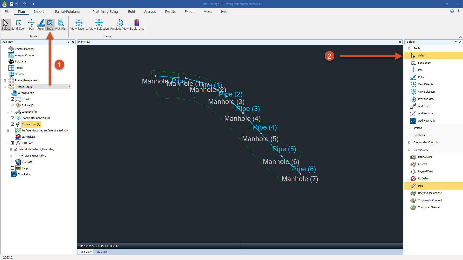
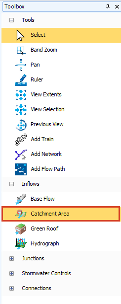
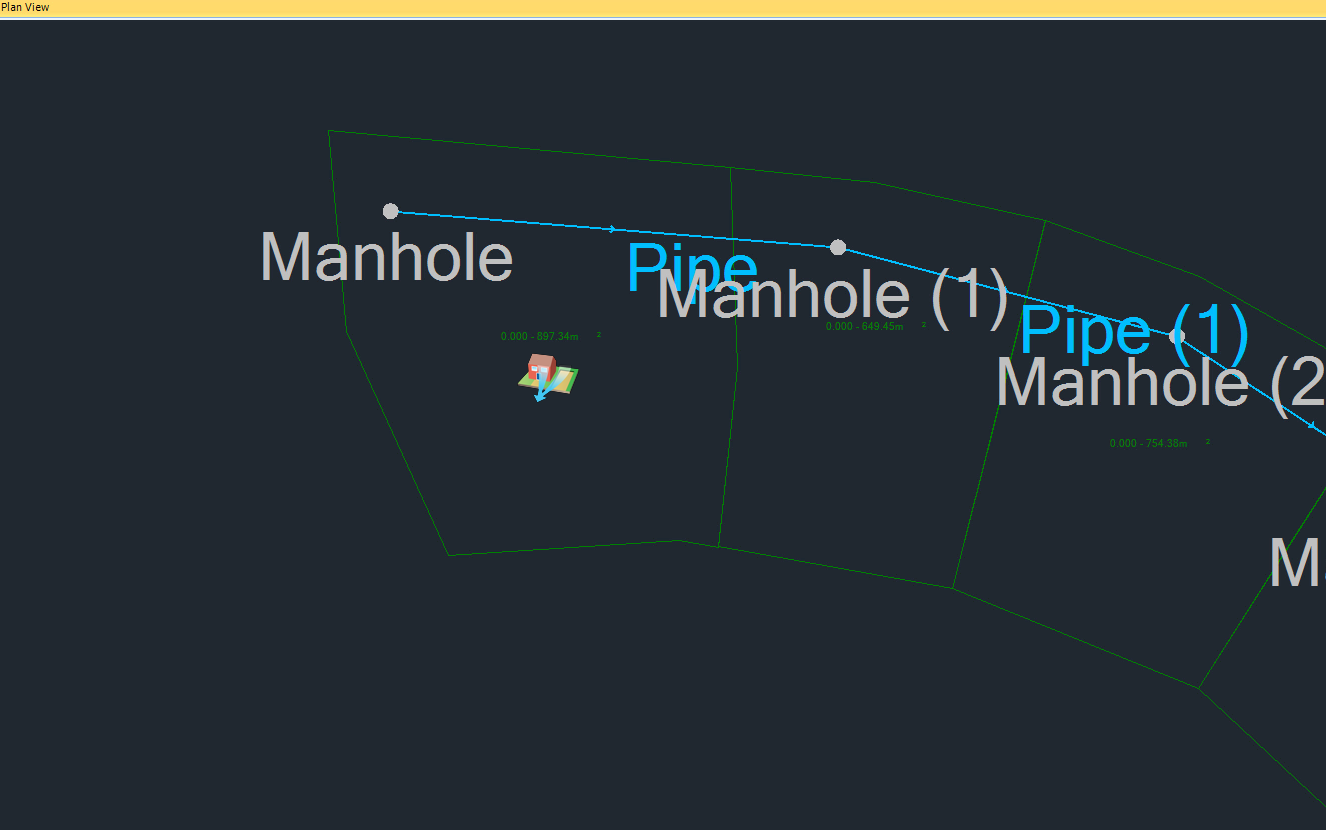
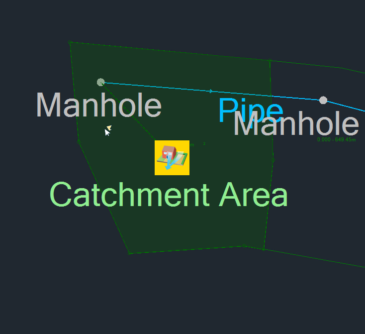
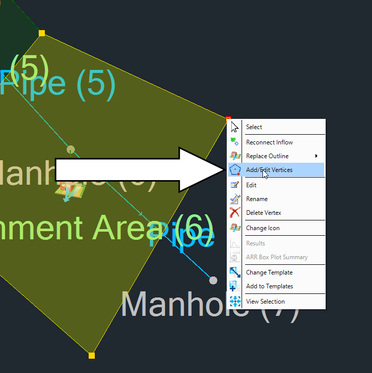
Catchment areas define which manhole rainfall will run off into, once it lands on the catchment surface. Designers should inspect surface data and background mapping to help them manually create polygons, and then assign those polygons to the relevant manhole.
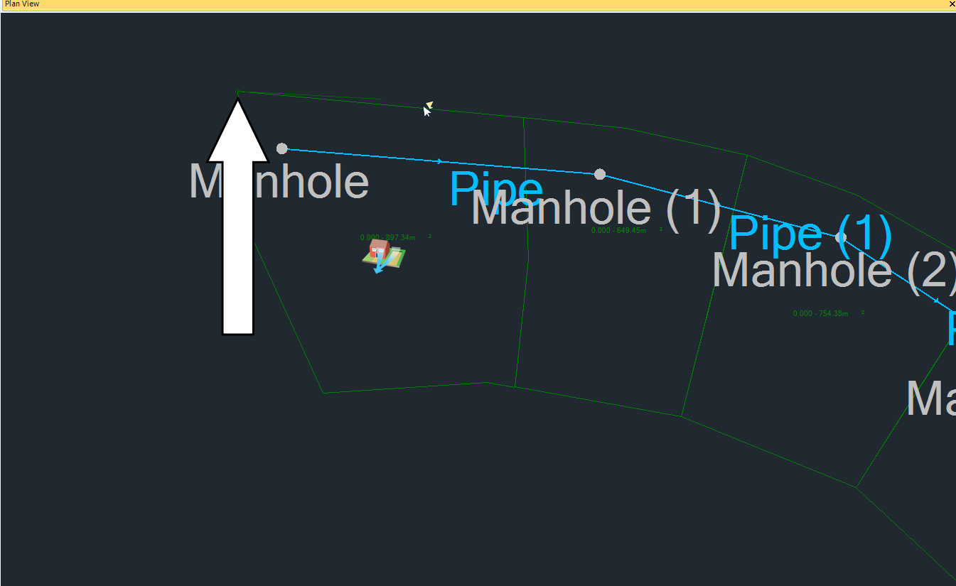
For this example, starting in the northwest corner of the model, the assumption here is that all the rain that would fall into the area of this first polygon will drain into the first manhole. (The definition of the catchment boundary is a judgement that the designer of the system must make; it is not a function of the program.)
